

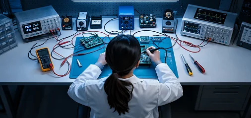
 Engineering & Design
Engineering Services, LiDAR Systems
And Real Time Safety Technology,
Made in the USA
CRATUS Technology designs, builds, and deploys the sensing, safety, and measurement systems that heavy industry, construction, and manufacturing operations run on.
Engineering & Design
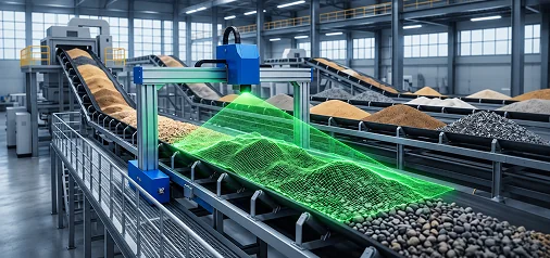 LiDAR Volume Measurement
Real Time Stockpile Volume Measurement and Weight Estimation Using LiDAR Technology.
Explore Bulk Material Measurement →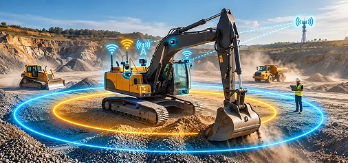 Crane & Heavy Equipment Safety
AI Powered Crane and Heavy Equipment Safety with Real Time Location Tracking for Job Site Workers.
Maximize Crane & Heavy Equipment Safety →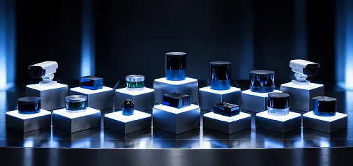 LiDAR Sensors & Scanners
LiDAR Sensors and Scanners for Robotics, Industrial Automation, Mapping, and Heavy Equipment Autonomy.
Explore Lidar Sensors →CRATUS Technology
Physical | Digital | Connected
CRATUS Technology, the Company Connecting Physical Operations to Digital Decisions, builds the systems that turn what is happening on your job site, your yard, or your production line into information you can act on. We design the electronics and mechanics behind your product. We measure your stockpiles with LiDAR instead of a clipboard. We track your cranes, equipment, and workers in real time so accidents get prevented instead of investigated. Four disciplines, one engineering team, one platform of physical intelligence.
Products
LiDAR Volume Measurement
Stop estimating stockpile volume by eye. Our LiDAR systems measure piles, trucks, conveyors, and silos continuously, with weight estimation backed by lab characterized material density. We carry LiDARs from most reputable manufacturers.
Book A Site AssessmentLiDAR Sensors & Scanners
Dozens of LiDAR models to choose from for robotics, industrial automation, mapping, navigation, and heavy equipment autonomy. Safety rated LiDARs joining the lineup soon. If there exists a LiDAR for your solution, we have it in our portfolio. Whether your application is mobile, stationary, drone mounted or requires a handheld scanner, we are here to help select the ideal solution.
Browse LiDAR ProductsCrane & Heavy Equipment Safety
AI vision detects people and obstacles near your cranes and equipment in under 300 milliseconds. Combined with real time location tracking across your fleet, you get a complete safety layer, not just a camera.
Schedule A DemoReal-Time Location Services
Bridging the gap between real-time location data for assets, inventory, and business decisions. Streamline your workflows by collecting real-time data and keep 100% of your organizational know-how as autonomy joins the workforce.
Operational IntelligenceWe Are The
Technology Company
Learn More about CRATUS Technology
- IoT Technology Hardware and Software Development
- ASSET-Rx™ Operational Intelligence Software
- BlueBrain® Connected Sensor Interfaces
- Intercal8™ Energy Management Products
Featured Products
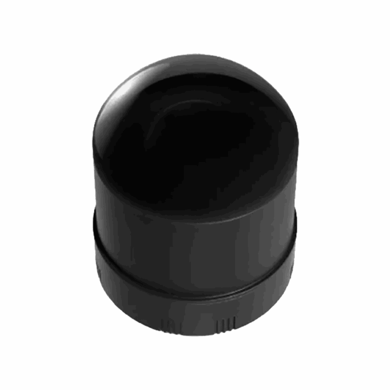
JT128 Hyper-Hemispherical Dome LiDAR
Mini 360° × 189° 3D LiDAR for robotics, AMR navigation and collision avoidance.
$1,950.00
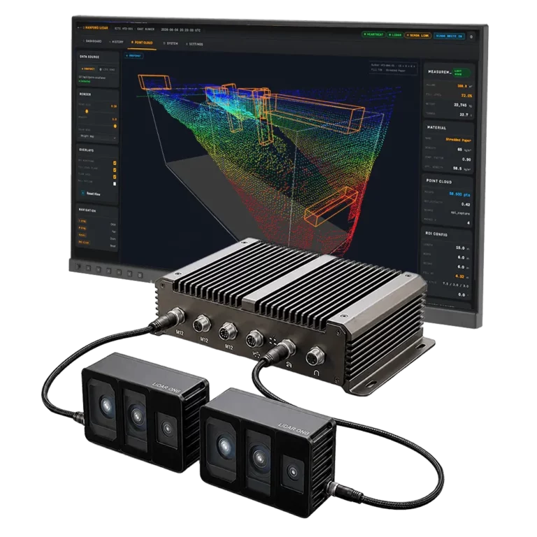
Volume Measurement System VMS-FL180
Real time LiDAR volume measurement for trucks in motion and conveyors, 99%+ volumetric accuracy.
Contact for price
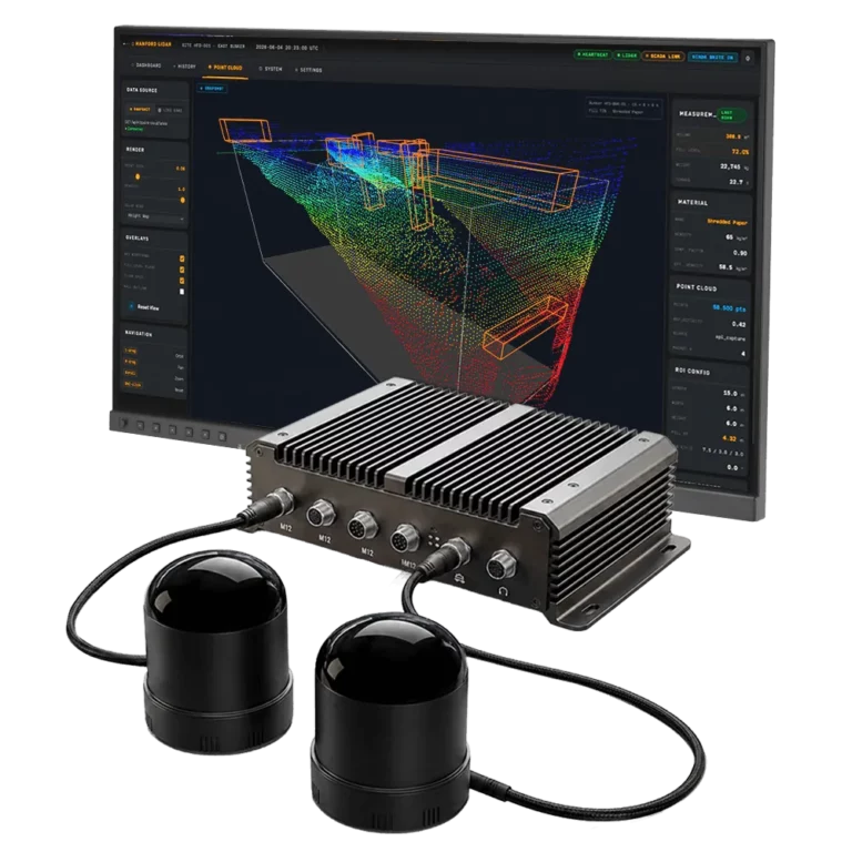
Volume Measurement System VMS-HS128
Bunkers, domes and warehouses measured continuously without anyone opening a hatch.
Contact for price
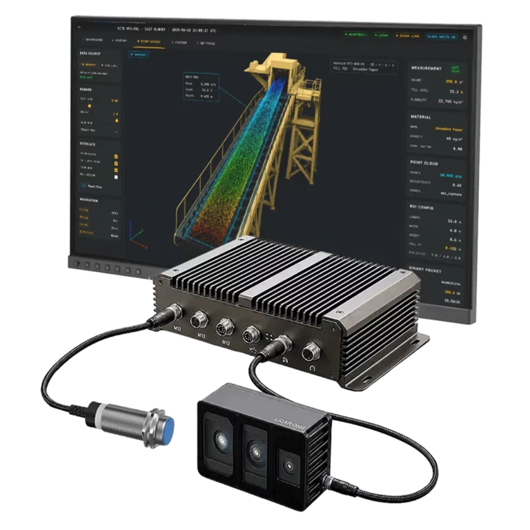
Conveyor Measurement Systems VMS-FL180C
Contactless alternative to belt scales: volume, flow rate and tonnage, live to your PLC.
Contact for price
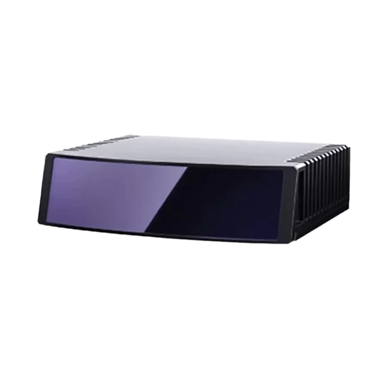
ETXP Ultra-High-Resolution Long-Range LiDAR
Automotive-grade 120° wide view for L3+ autonomy, robotaxis and advanced ADAS.
$5,750.00
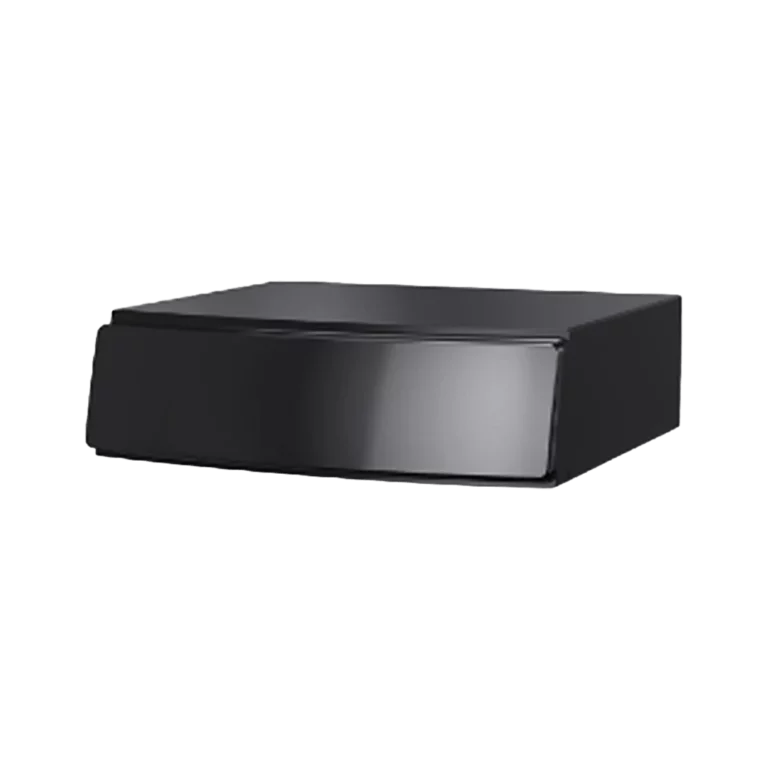
ATX Compact Long-Range Automotive LiDAR
Auto-grade compact 120° high-resolution sensor for ADAS, vehicles and robotics.
$2,500.00
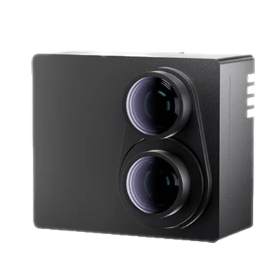
FTX 140 Fully Solid-State Short-Range LiDAR
No moving parts, wide field of view for blind-spot detection, robotics and industrial vehicles.
$1,500.00
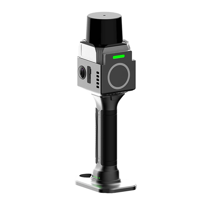
SXMCA Lite Handheld LiDAR Scanner
Under 1 cm accuracy, 360° scanning and ready-to-use point clouds for BIM and AEC.
$6,300.00
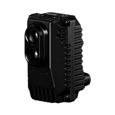
Hummingbird D1 Solid-State Flash LiDAR
Ultra compact, wide FOV, power efficient near-field sensing for robotics and smart infrastructure.
$1,250.00
Partners and Customers





Latest Blog
The Most Dangerous Job in Your Plant Is Finding Out How Much Is in the Silo
Manual level checks and blind cleanouts keep sending people into silos. A fixed 3D LiDAR scanner measures the whole surface without anyone opening the hatch.
Read more →From Eyeballing to 3D Automation: Guessing Road Salt Inventory Is No Longer an Option
Road salt shortages caught cities off guard. See how LiDAR based 3D volume measurement replaces eyeballing salt bunkers with real time inventory data.
Read more →Shifting from Meters to Centimeters: Deep-Diving UWB Architecture for Precision RTLS
Hardware node topologies, signaling mathematics and geometric constraints behind centimeter level tracking.
Read more →


