

SXMCA PRO – Handheld LiDAR Scanner
Architecture , Engineering , Construction (AEC)
360 degrees LiDAR with High Speed Scanning
Built in RTK
Ultra Light Weight, Ultra Powerful
END MARKETS
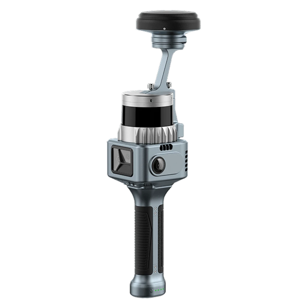
SXMCA PRO

Maximum 5,200,000 pts/s

200 m Range

1263 g Ultra-light Design
120 km/h High-speed Scanning Ready

Multiple Modes & Plug-ins
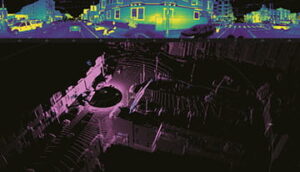
High-density, High-precision
1 kg ultra-light body, maximum 5.2M pts/s capture, 5 mm accuracy. 40% lighter, 4× performance boost, built for any scenario.
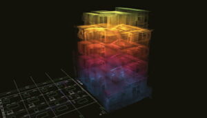
AI-Powered SOTA-SLAM
Trained on 2,000+ devices and 100 million m² of real-world data, AI-powered SOTA-SLAM (Spatial Omni-Temporal Adaptive) algorithm ensures robust mapping.
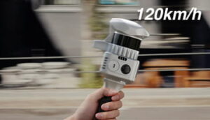
Stable Structure, Innovative Operation
Fixed-scan design replaces heavy rotating parts, reduces wrist load, and enables 360° capture. Supports high-speed mobile scanning for stable, efficient operation.
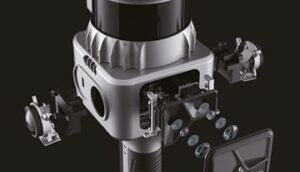
Omni-Dimensional Imaging
Combines panoramic, frontal high-res, and VSLAM vision system with 3DGS for true-color point clouds, detailed textures, and realistic 3D models in one capture.
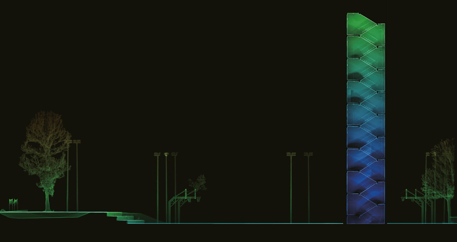
DATA RESULTS
High planarity of horizontal point clouds
Accurate vertical alignment
APPLICATIONS
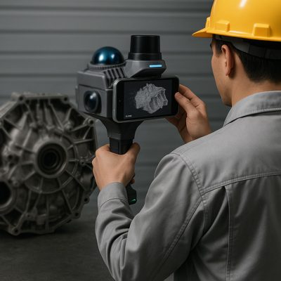
Engineering
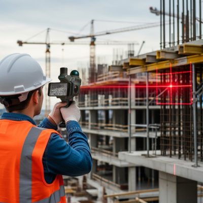
Construction
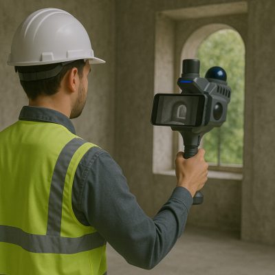
Architectural
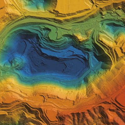
Surveying & Mapping
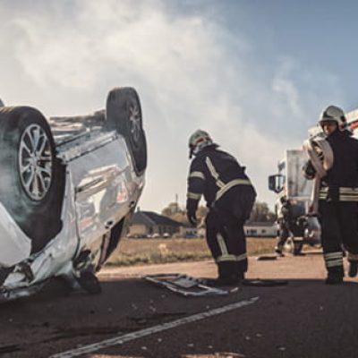
Public Safety
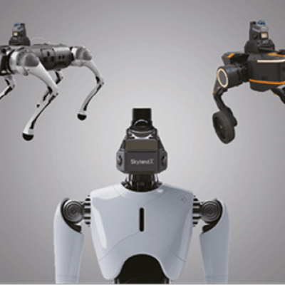
Robotics
Smart Manufacturing
AEC
Media & Entertainment
SOFTWARE SUPPORT
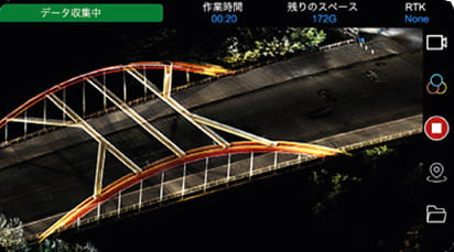
SXMCA GO
Real-time point cloud preview,quick quality
checks,anddevice status at a glance.
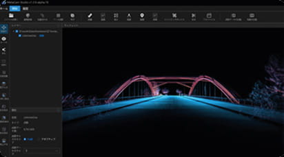
SXMCA STUDIO
One-click point cloud processing with optimization, editing, and multi-format export. Seamlessly integrates with mainstream softwares.
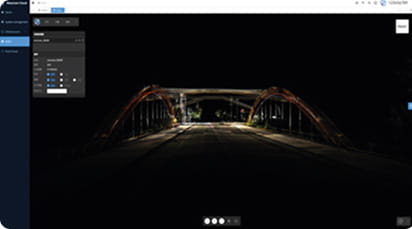
SXMCA CLOUD
Real-time point cloud and 3DGS computation with onlinepreview,supporting cloud collaboration and reducing local hardware dependency.
Frequently Asked Questions
What is the SXMCA PRO Handheld LiDAR Scanner used for?
The SXMCA PRO is a handheld LiDAR scanner designed for AEC, engineering, construction, architecture, surveying, mapping, public safety, robotics, smart manufacturing, and media production. It is built for fast 3D capture, point cloud reconstruction, and digital twin workflows in both indoor and outdoor environments.
Why is it suitable for AEC and construction workflows?
It combines 360° LiDAR capture, built in RTK, high speed scanning, and 5 mm point cloud reconstruction — helping teams capture as built conditions, construction progress, building interiors, facades, and site geometry with a portable scanner.
What is the point cloud capture rate?
The maximum capture rate is 5,200,000 points per second — dense point clouds for engineering, surveying, mapping, construction documentation, and digital twin projects.
How accurate is the SXMCA PRO?
It delivers approximately 5 mm precision in point cloud reconstruction — relevant for professional scanning workflows where clean geometry, high planarity, vertical alignment, and reliable measurement quality are important.
What is the scanning range?
Up to 200 m — useful for larger site capture, outdoor surveying, engineering environments, construction areas, and wide spatial documentation tasks.
Does it have built in RTK?
Yes. Integrated RTK supports survey grade positioning and reduces the need for manual ground control points in suitable workflows.
What is SOTA SLAM?
An AI powered SOTA SLAM algorithm handles mapping. The system is trained on large scale real world datasets, helping maintain stable performance across different indoor and outdoor environments.
Can it be used for high speed scanning?
Yes. High speed scanning is supported up to 120 km/h, and the fixed scan structure helps maintain stable mobile scanning performance while reducing wrist load during extended field use.
Does it create colorized point clouds and realistic 3D models?
Yes. Panoramic imaging, frontal high resolution imaging, VSLAM vision, and 3DGS technology combine to support true color point clouds, detailed textures, and realistic 3D models in one capture workflow.
When should a team choose the SXMCA PRO?
Choose the SXMCA PRO when you need a professional handheld LiDAR scanner for high density point clouds, AEC documentation, surveying, mapping, digital twin creation, construction progress capture, public safety reconstruction, robotics mapping, or smart manufacturing facility scanning — most relevant when high point rate, RTK positioning, long range capture, and portable field operation matter together.