
CRATUS brings together auto-grade LiDAR — from our HESAI and Seyond offering — with Nx Go visual infrastructure, turning roads, corridors, and transit hubs into real-time, privacy-preserving intelligence — accurate by day, by night, and in any weather.
Together, Nx Go and the CRATUS LiDAR Offering address the pressing challenges facing modern smart city infrastructure — delivering solutions built to enhance efficiency, safety, and connectivity across urban environments, without relying on facial or license-plate identification.
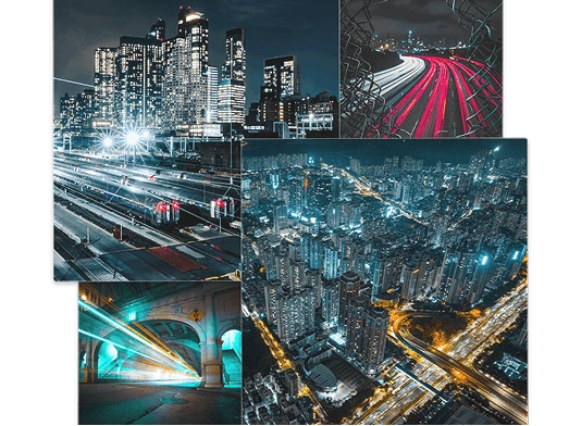
The strengths of Nx Go — scalability, interoperability, and data aggregation — extended by the CRATUS LiDAR Offering across smart city and infrastructure networks.
Streamline the management of a diverse device fleet — LiDAR sensors, cameras, and IoT edge devices — into a single unified network. The CRATUS LiDAR Offering feeds Nx Go directly, so day-to-day operations get simpler while every sensor generates structured, actionable data.
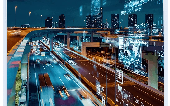
Empower city and transportation teams with real-time LiDAR analytics for immediate insight. Centimeter-accurate detection and tracking drive proactive decisions — improving flow, operational efficiency, and strategic planning in dynamic urban settings, day or night and in any weather.
Nx Go enhances collaboration across departments and agencies through easy sharing of LiDAR point-cloud data, object tracks, and camera feeds. Stakeholders maximize shared sensors and information, promoting a cohesive, efficient approach to infrastructure management.

State-of-the-art security safeguards critical infrastructure data and LiDAR streams. Nx Go's SOC 2 Type 2-compliant features protect public and private networks, while LiDAR perception preserves privacy by tracking objects anonymously — no facial or license-plate identification required.
GIS calibration and mapping place every LiDAR sensor, camera, and object track on a precise map, so engineers interpret assets and historical trends with accuracy.
Vehicle-to-Everything exchange pairs with LiDAR perception to share real-time data between vehicles, infrastructure, and sensor networks. In GPS-denied environments such as multi-level parking structures, LiDAR delivers precise positioning and guidance.
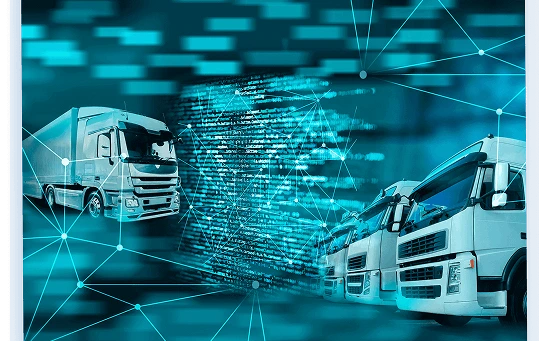
From GPS and speed sensors to roadside LiDAR and in-vehicle perception — real-time, cloud-based management of fleets and infrastructure assets.
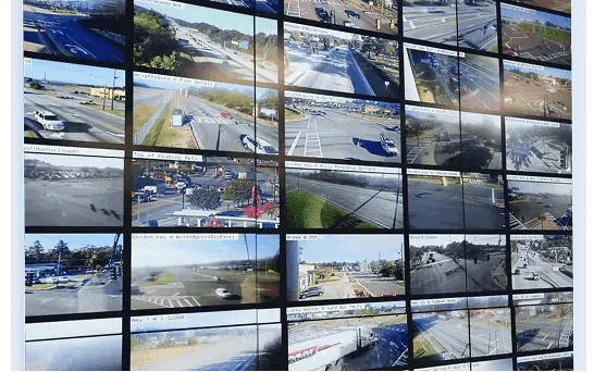
Auto-detection of 45k+ IP camera models, plus a broad range of LiDAR sensors and IoT devices, unifies proprietary systems into one actionable view.
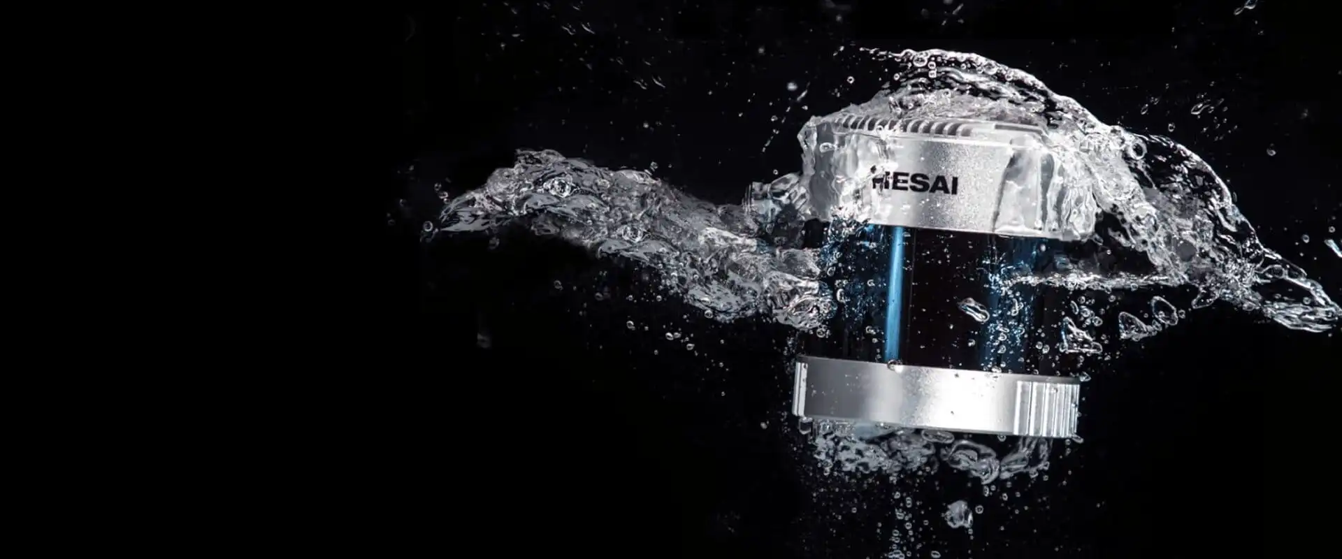
Rugged sensors with broad area coverage, real-time analytics, and 24/7 operation in changing outdoor conditions — enabling monitoring without camera-based identification.
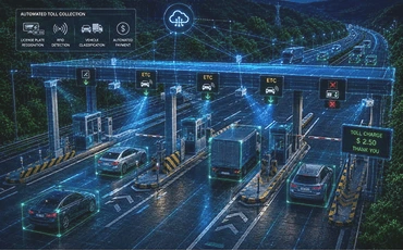
Classify and track vehicles across electronic toll lanes — accurately, day or night, in any weather.
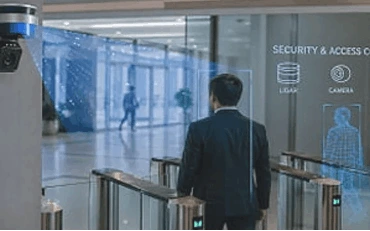
Detect and track people and vehicles along fence lines and restricted zones — anonymously and around the clock.
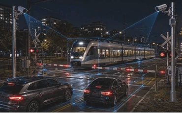
Detect vehicles, pedestrians, and obstructions at level crossings for safer, more reliable rail operations.
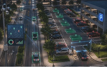
Track occupancy and turnover across street and lot parking with clear free-and-occupied space overlays.
Monitor tunnels for unauthorized entry, stopped objects, and intrusion in GPS- and camera-challenged spaces.
Deliver positioning, guidance, and vehicle tracking inside multi-level structures where GPS is unavailable.
Pair Nx Go with LiDAR from the CRATUS Offering, matched to your coverage, range, and field-of-view needs across HESAI and Seyond.
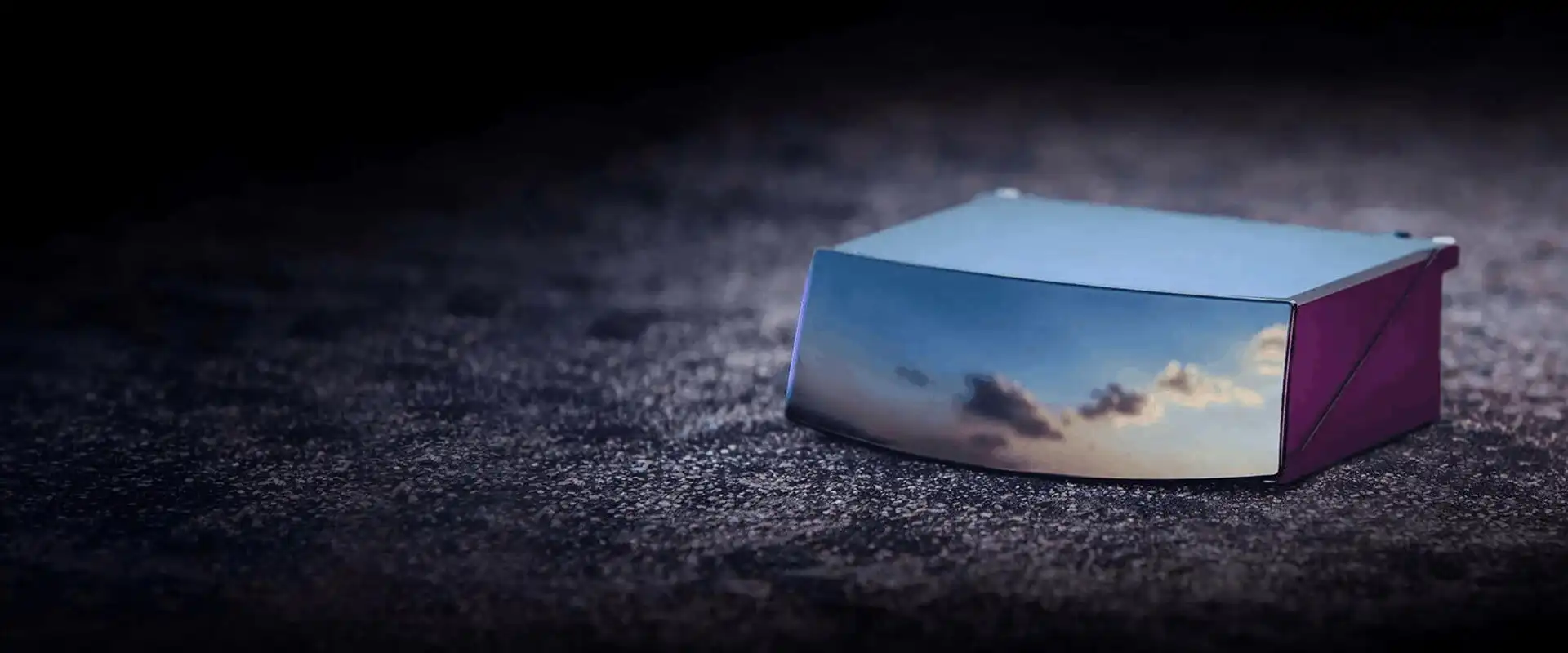
Auto-grade 120° high-resolution long-range LiDAR for broad area coverage.
Calibration-free perception for full situational awareness.
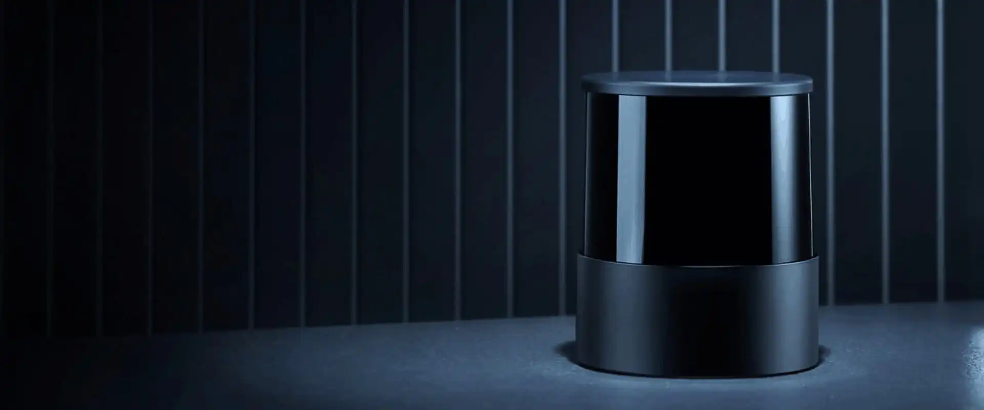
128-channel 360° high-performance long-range sensing for dense urban scenes.
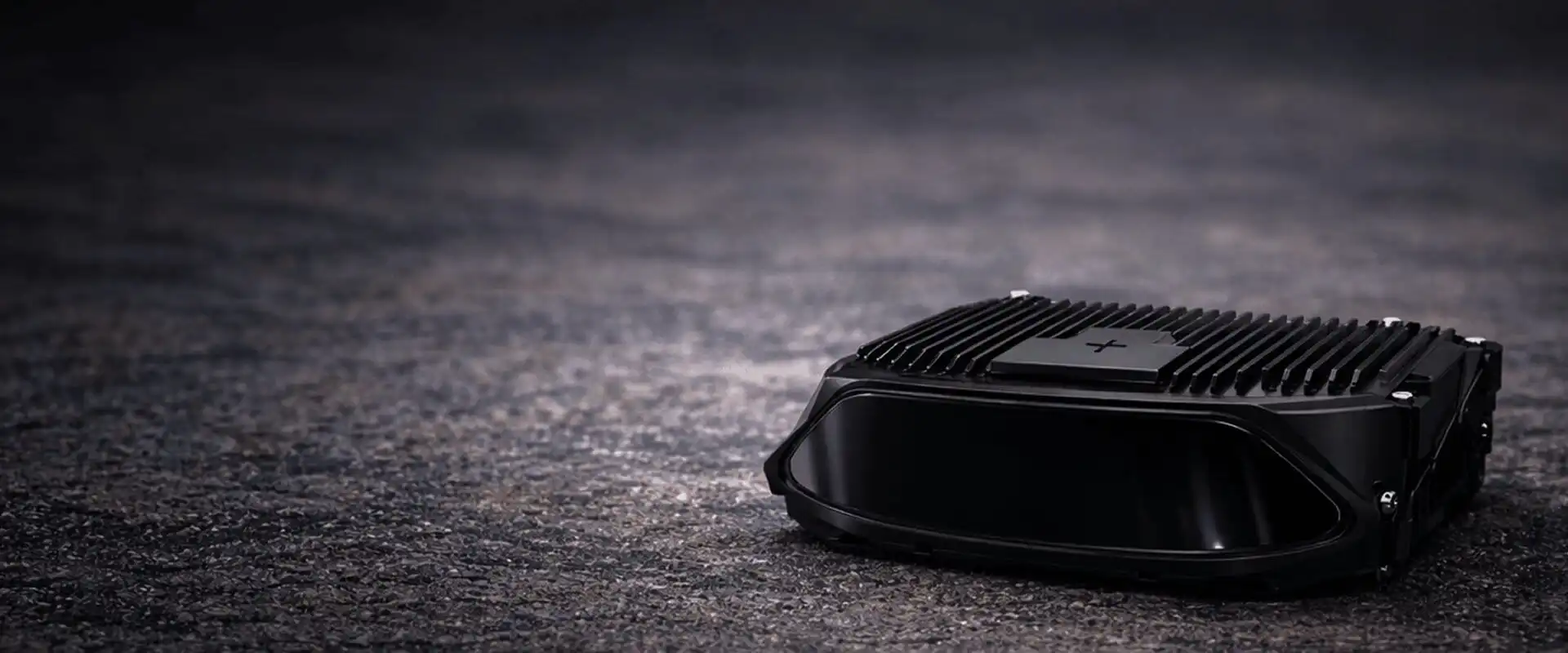
Wide FOV, compact, high resolution — strong for blind-spot and approach detection.
Make smarter decisions with privacy-preserving LiDAR perception and unified video data — elevating public safety and streamlining citywide operations.
Contact Sales →Build custom smart city and infrastructure deployments on a compatible platform — pairing Nx Go with the right LiDAR from the CRATUS Offering for each site.
Contact Sales →Enhance your product line with adaptable LiDAR and video data capabilities, integrated cleanly into existing systems.
Contact Sales →Revolutionize smart city and infrastructure management with perception that sees everything and identifies no one. Talk to a CRATUS engineer about the right LiDAR and Nx Go configuration for your network.
CONTACT US / BUY
One of our experts will be communicating with you shortly. We are committed to understanding your application and providing support, tailored to your specific requirements.