
Browse our products by end market and application. Each panel groups use cases by product, with a side-by-side specification comparison across manufacturers.
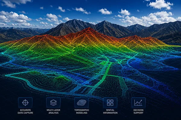
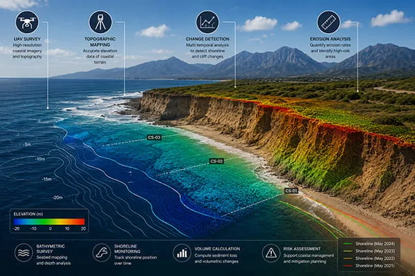
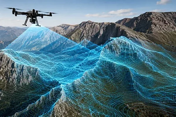
Mapping and surveying applications depend on millimeter-level precision, high point-cloud density, and seamless synchronization with external IMU and RTK GPS systems. These LiDAR solutions are used to generate accurate 3D models of terrain, infrastructure, mines, coastal areas, and large-scale environments.

Architecture , Engineering , Construction (AEC)
360 degrees LiDAR with High Speed Scanning
Build in RTK
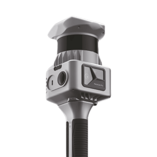
Ultra Light Weight, Ultra Powerful
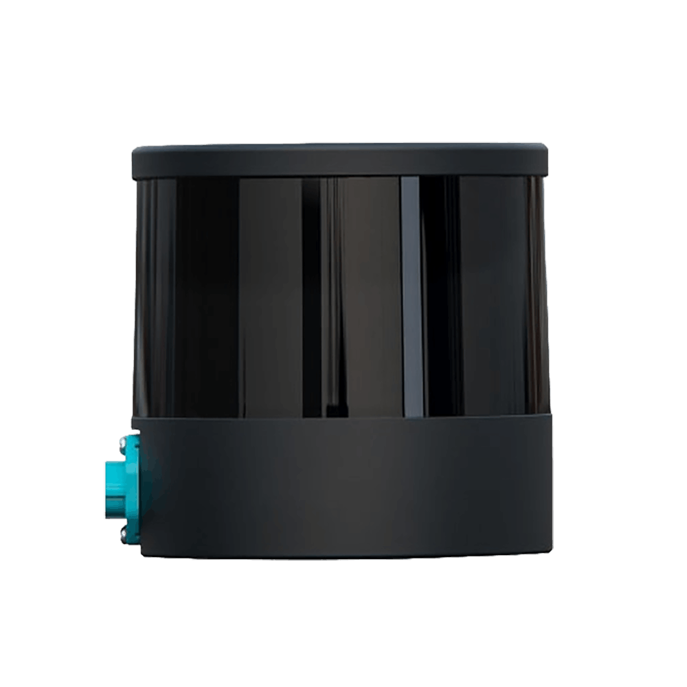
32-Channel 360° Spinning Mid-Range Lidar
High Precision. Minimum Range of Zero. Cost Efficient
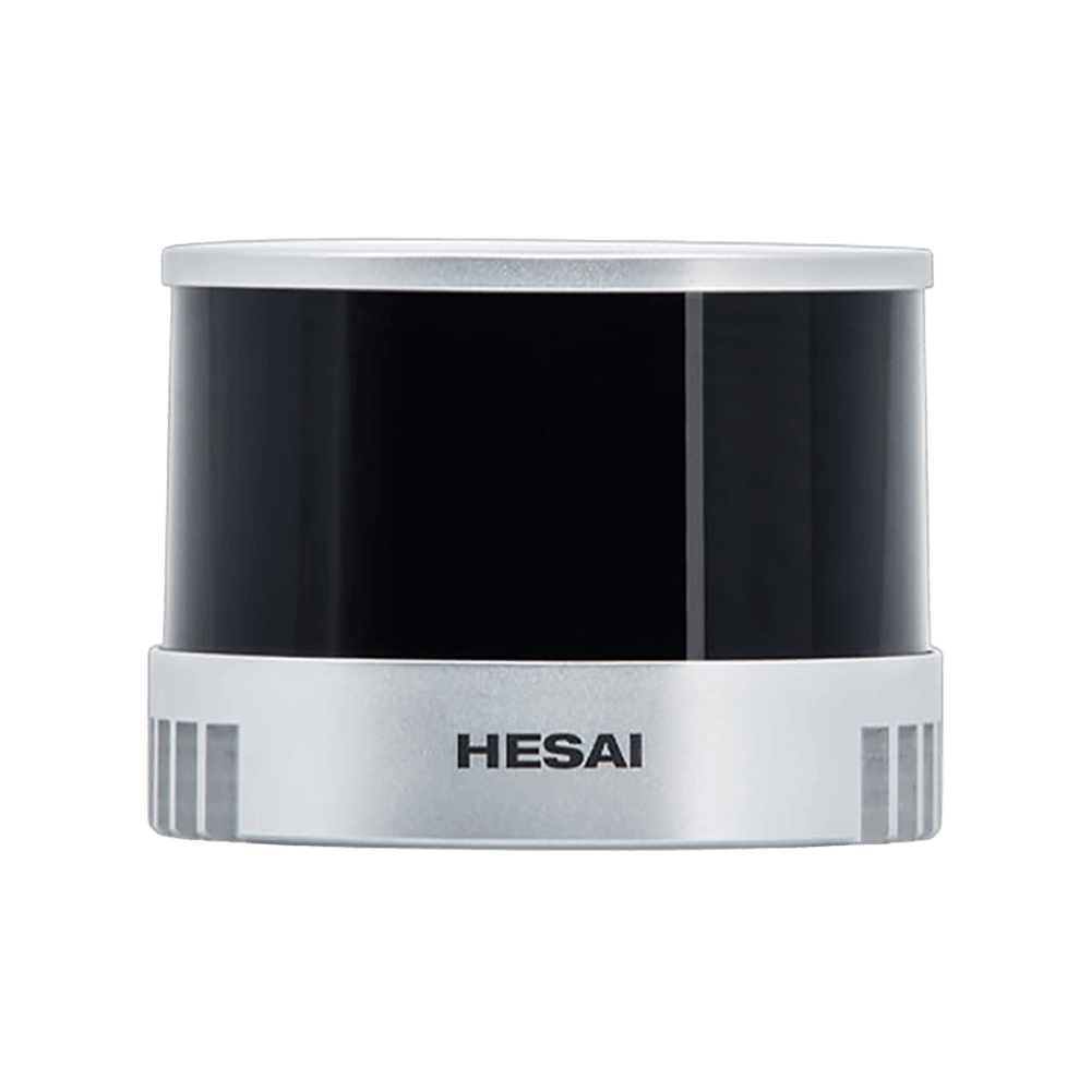

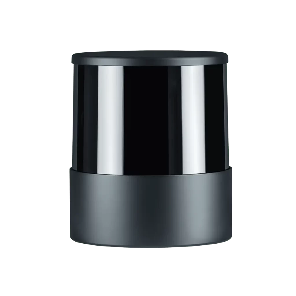
32-Channel 360° Spinning Mid-Range Lidar
High Precision. Minimum Range of Zero. Cost Efficient
360 degree LiDAR
Build in RTK
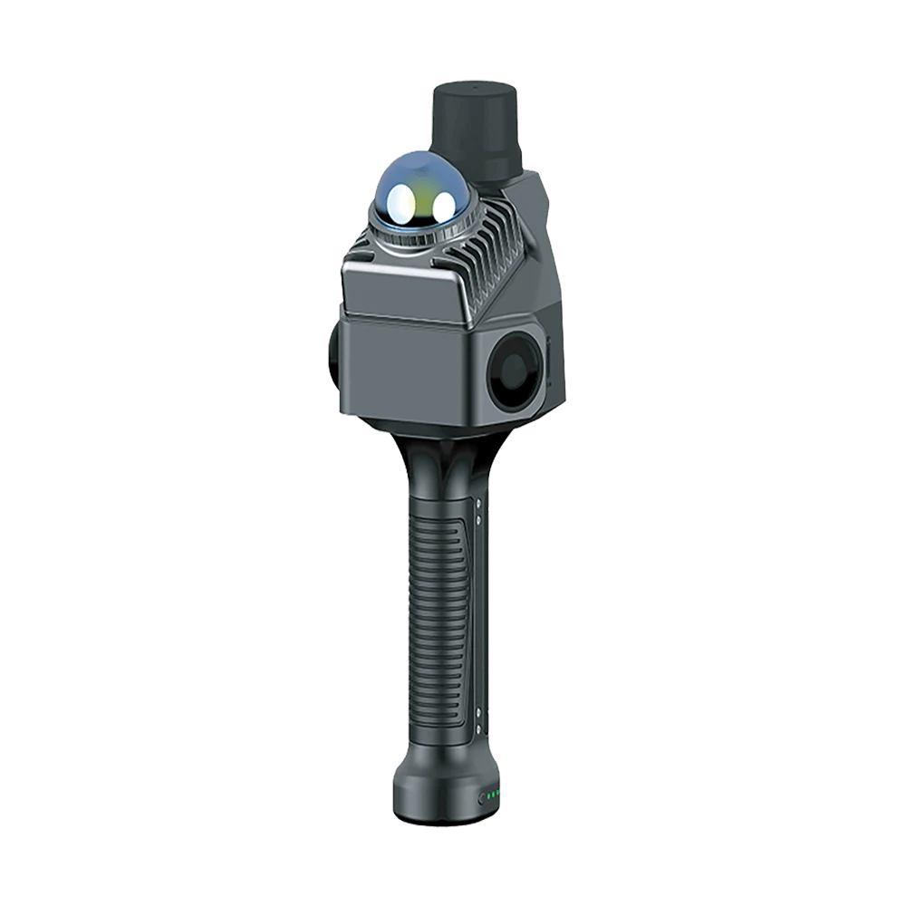
Light weight scanner with high resolution cameras
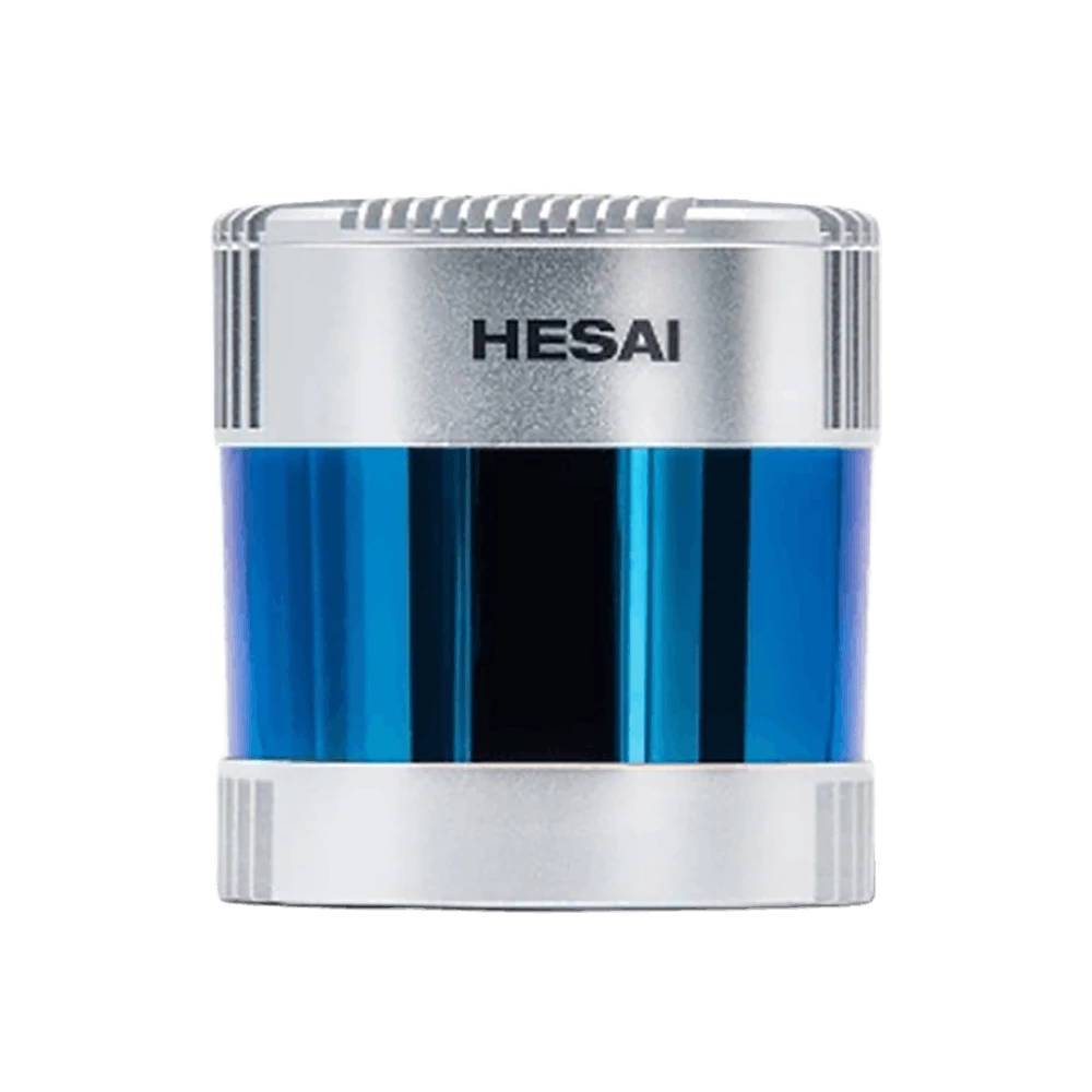
Auto-Grade 128-Channel 360°
High-Performance Long-Range Lidar
128-Channel Ultra-Wide View Short-Range Lidar
Automotive Grade, 105° Vertical FOV

Scalable 360-Degree Perception
Calibration Free 360° Unstitched FOV
CONTACT US / BUY
One of our experts will be communicating with you shortly. We are committed to understanding your application and providing support, tailored to your specific requirements.