

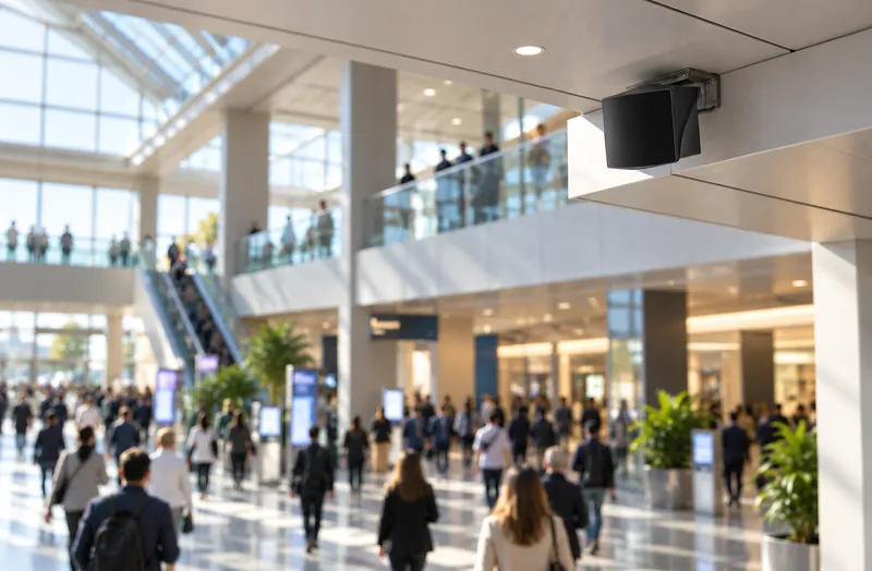
Cameras raise privacy concerns
Recording faces in public spaces brings privacy reviews, signage and storage rules. Many sites cannot or will not put cameras where they need counts.
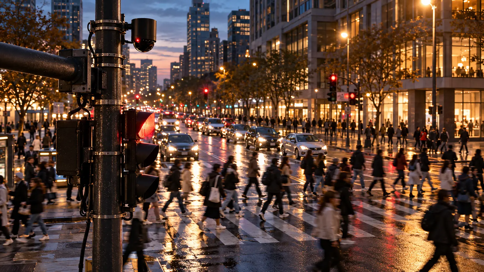
People move in flows. Measure the flow, not just the count.
ASSET-RxCx measures pedestrians and crowds with LiDAR in airports, streets, crosswalks, malls and shopping centers: counts, flows, paths, dwell, queues and occupancy. LiDAR sees people as anonymous 3D points, not images, so it measures accurately day and night without recording faces.
The challenge
Public spaces are busy, open and sensitive. The methods that work in a lobby often fail at a crosswalk or a terminal.
Recording faces in public spaces brings privacy reviews, signage and storage rules. Many sites cannot or will not put cameras where they need counts.

In a busy concourse people cross paths, walk in groups and block each other. Door counters and single cameras lose people in the crowd.
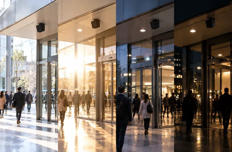
Night, glare, shadows and backlit entrances change what a camera sees. A count that drifts with the light is hard to trust.
LiDAR measures people as 3D points, through crowds and changing light, without recording who they are.
See the approachLive demo
A CRATUS demo of a full-sphere LiDAR in dense indoor pedestrian traffic, with people constantly moving, overlapping and blocking one another.
Where it is used
The same measurements, tuned to each kind of space.
Side by side
How each behaves in public spaces.
| Cameras | LiDAR | |
|---|---|---|
| What is captured | Images of people, faces and surroundings | Anonymous 3D points |
| Privacy review | Often required, with signage and retention rules | Simpler; no identifiable images |
| Night and glare | Depends on lighting | Unaffected; brings its own light |
| Dense, overlapping crowds | People hidden behind each other in 2D | 3D separation of people in groups |
| Position and speed | Estimated from pixels | Measured in meters and meters per second |
| Coverage per sensor | One field of view | Full sphere around the sensor |
General characteristics. CRATUS adds cameras where a site wants visual verification.
Our approach
LiDAR sensing, edge computing, software and AI, engineered as one system by one team.
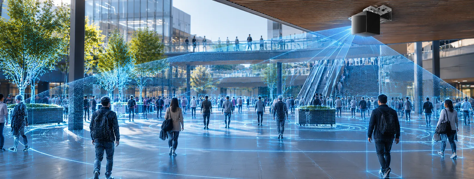
LiDAR sensing
Full-sphere LiDAR sees all around the mounting point, ground and overhead at the same time, and measures every person as anonymous 3D points with position and speed. Overlapping sensors cover large concourses and long streets.
Edge computing
An edge computer at the site merges every sensor into one live picture and computes the analytics locally, so results, not raw sensor streams, leave the site over Ethernet, Wi-Fi or cellular.
Software & dashboards
Counts, flows, heat maps, dwell and occupancy per zone, live and as trends, with alerts and data exports for operations, planning and retail teams.
AI
AI tracks each anonymous person through the scene, separates people from carts, strollers and vehicles, and forecasts queues and peaks from patterns over time.
What we deliver
Choose the measurements each space needs.
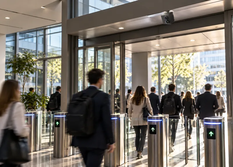
People entering and leaving each entrance, gate or zone, through crowds and groups.
Sensing · Edge
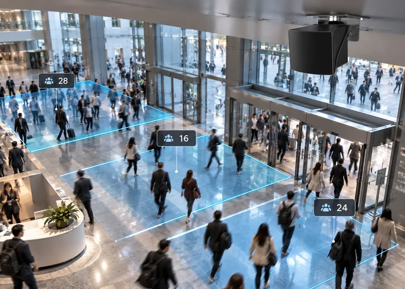
People in each zone and per square meter, live and as trends.
Software
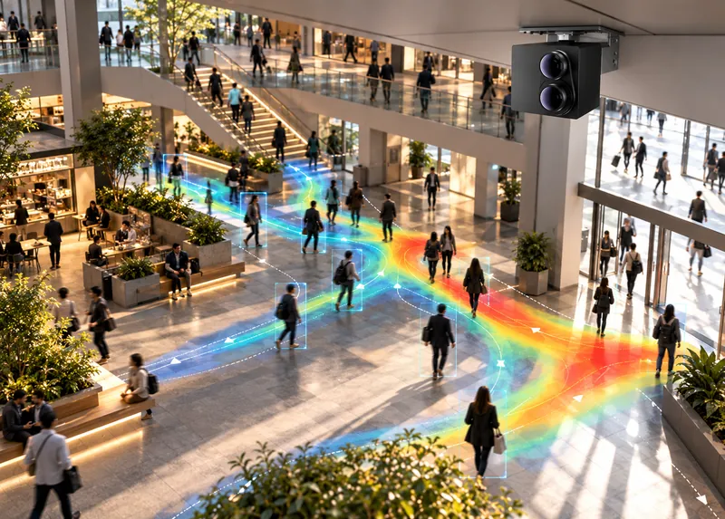
Where people walk, where they stop and which routes they take.
Software · AI
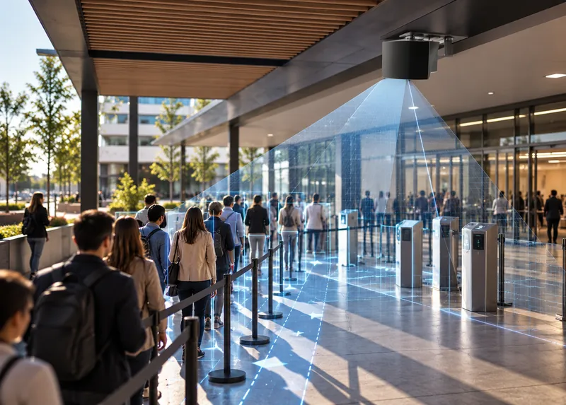
Queue length and wait estimates at check-in, security, retail and service points.
AI
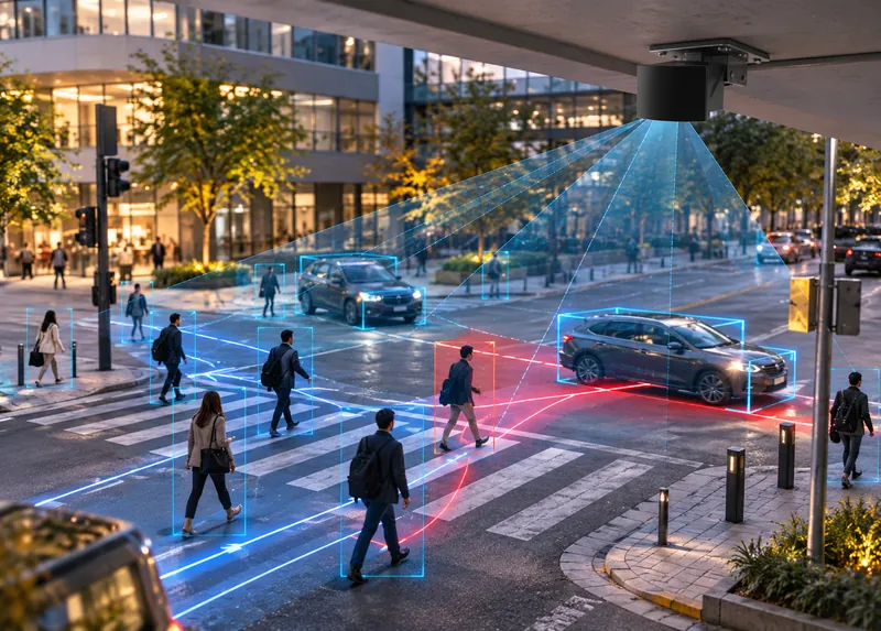
Crossing counts and times, and pedestrian and vehicle conflicts at intersections.
Sensing · AI
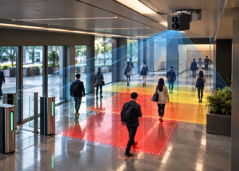
Thresholds for occupancy, density and queue length per zone.
Software
The ASSET-RxCx system
Sensor types and positions are chosen per site; the analytics are the same everywhere.
All-around coverage
Covers a concourse, crossing or atrium from one mounting point.
Streets and plazas
Reaches along streets, platforms and open plazas where people are farther from the sensor.
ASSET-Rx EDGE
Fuses the sensors, tracks people anonymously and computes counts and flows at the site.
Live and historical
Counts, occupancy, flows and queues for operations, planning and retail teams.
Per zone
Thresholds per zone with notifications to the people who act on them.
Your systems
Data delivered to the systems you already use, with CRATUS engineering for custom integrations.
One system
CRATUS plans the coverage, supplies the sensors and edge computer, runs the software and supports the system after commissioning.
All CRATUS productsThese details let CRATUS plan coverage for your space.
How we work
Coverage is planned from your site plan so every entrance, zone and crossing you need is measured.
Plan, zones, entrances, mounting options and traffic levels.
Sensor types and positions chosen for full coverage of the zones you need.
Pole, ceiling or wall mounting with power and network.
Zones, counting lines, thresholds and reports set up and checked.
Live analytics, trends and alerts, with engineering support.
Standards & practices
Pedestrian analytics in public spaces has to respect privacy and work with existing safety references.
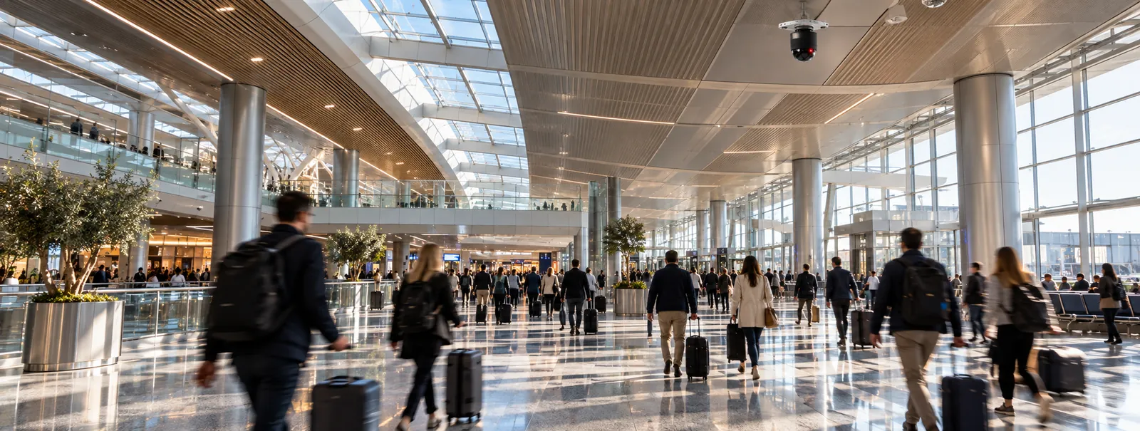
Privacy obligations depend on your jurisdiction and use. CRATUS designs the system to measure anonymously and supports your privacy review; we don’t certify compliance.
LiDAR measures distance with laser light and builds a 3D point cloud of the scene. Software separates each person in the cloud, tracks them anonymously and counts them as they cross lines or enter zones.
Yes. LiDAR captures 3D points, not images, so faces, clothing details and license plates are not recorded.
Yes. Measuring in 3D from above or from several viewpoints separates people walking in groups, which is where door counters and single cameras lose count.
Yes. Queue length, occupancy and dwell are measured per zone, and wait times can be estimated from how fast the queue moves.
Yes. LiDAR counts crossings, measures crossing times and detects pedestrians and vehicles in the same scene, including conflicts between them.
Footfall per entrance and zone, paths through the center, dwell and occupancy, with trends by hour, day and season.
It depends on size, ceiling or pole height and obstructions. A full-sphere LiDAR covers a large area around one mounting point; CRATUS plans the count from your site plan.
It works at night without added lighting. Heavy rain, snow and fog reduce range; outdoor layouts are planned with overlap to account for weather.
Send us the site layout, what you need to measure and how the space is used. A CRATUS engineer replies with questions, a sensor layout and a phased plan.
Yes. CRATUS works directly with operations teams, system integrators and IT departments, and provides network requirements, installation instructions and remote support during commissioning.
Talk to a CRATUS engineer
Send us the site plan and the zones you need. A CRATUS engineer will reply with a LiDAR coverage plan.
Keep exploring
GET IN TOUCH
One of our experts will be communicating with you shortly. We are committed to understanding your application and providing support, tailored to your specific requirements.