

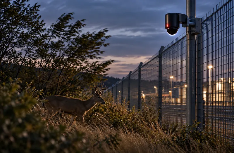
Nuisance alarms
Wind, wildlife, vegetation and weather trigger fence sensors and video analytics. Operators learn to ignore alarms, and the real one gets lost.
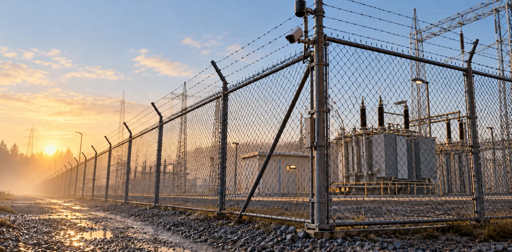
Fences don’t watch themselves. LiDAR does, day and night.
CRATUS provides access monitoring, perimeter security and protection with hemispherical LiDAR, cameras and AI for airports, security checkpoints, military bases, energy plants and other sensitive locations that need protection 24/7. LiDAR detects and tracks people and vehicles in 3D, in darkness, and tells operators where the intruder is now, not only which fence segment alarmed.
The challenge
Long fences, dark nights and open approaches stretch every security team. Most alarms say something happened; few say where it is now.
Wind, wildlife, vegetation and weather trigger fence sensors and video analytics. Operators learn to ignore alarms, and the real one gets lost.
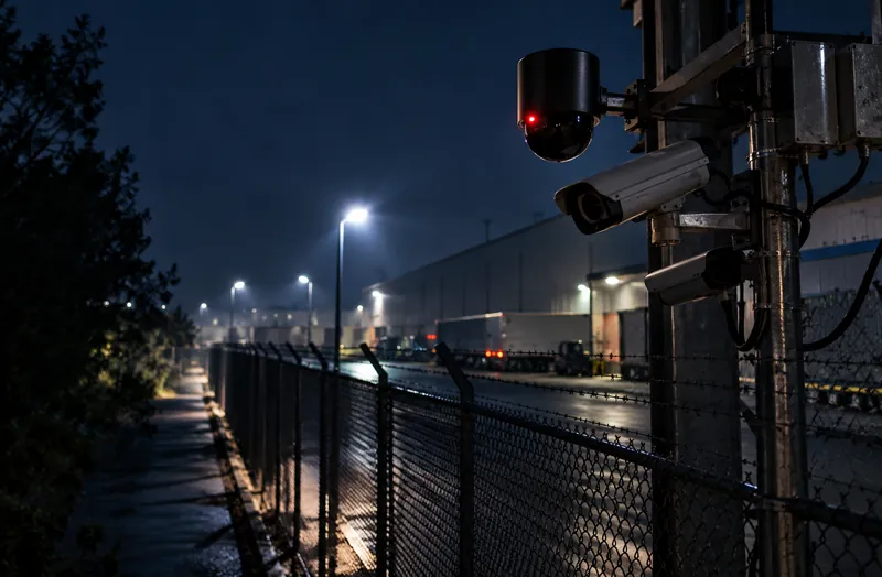
Cameras need light and see in 2D. Long perimeters at night need many cameras and lighting, and still miss what is in the shadows.
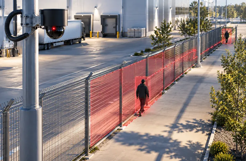
A fence alarm tells you which segment was touched. Responders need to know where the person went next.
CRATUS tracks people and vehicles in 3D, filters nuisance alarms by size and behavior, and cues cameras to the target.
See the approachWhere it is used
Each site gets zones, rules and responses that match its risk.
Side by side
CRATUS combines LiDAR with cameras so each does what it does best.
| Fence sensors | Cameras with analytics | LiDAR | |
|---|---|---|---|
| Detects | Contact or vibration on the fence | Motion in the image | People and vehicles in 3D |
| Location | Fence segment | Position in the image | Position, path and speed |
| Darkness | Unaffected | Needs lighting or thermal | Unaffected |
| Approach before the fence | No | Yes, in view | Yes, all around the sensor |
| Nuisance sources | Wind, animals, debris | Shadows, headlights, weather | Filtered by size and behavior |
| Visual verification | No | Yes | Cues cameras to the target |
General characteristics of each technology class. Weather such as heavy fog, rain or snow reduces LiDAR range; layouts include overlap to account for it.
Our approach
Hemispherical and long-range LiDAR, cameras, edge computing, software and AI, engineered as one system by one team.
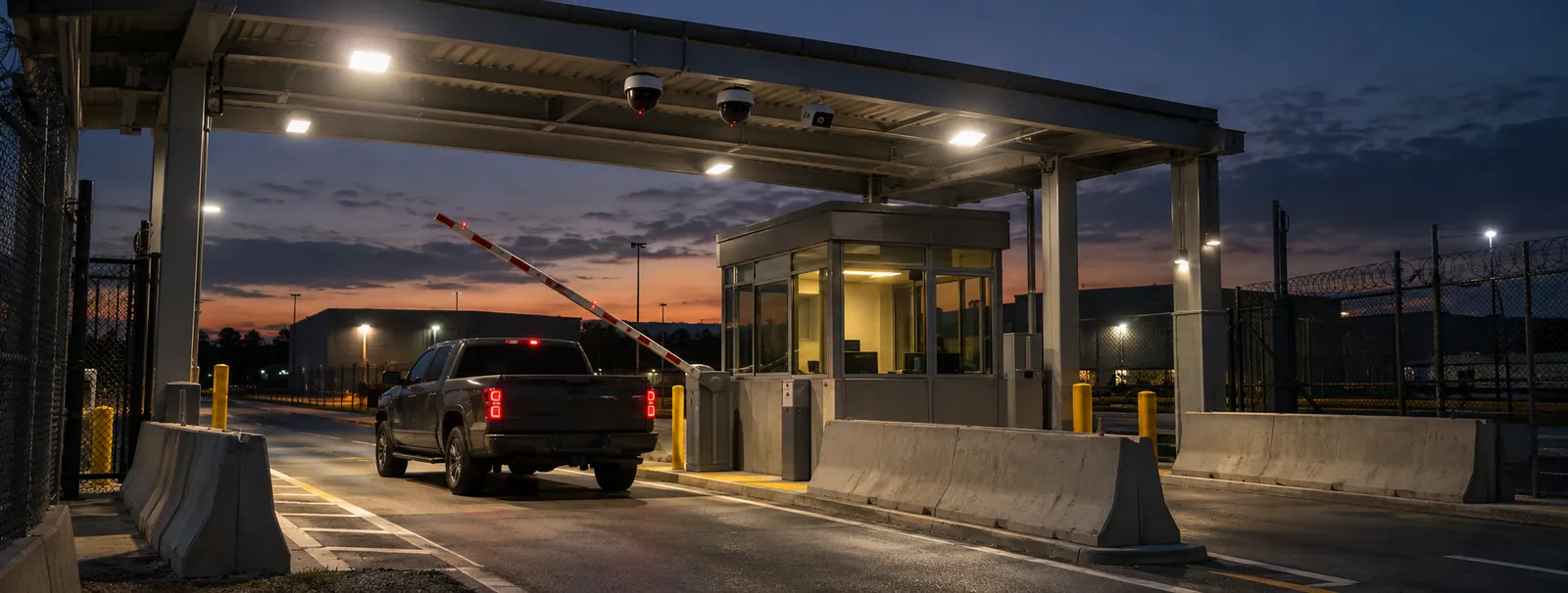
Sensing
Hemispherical LiDAR covers gates, yards and corners all around the mounting point; long-range LiDAR covers fence lines and open approaches. Cameras provide visual verification and are cued to each LiDAR track.
Edge computing
An edge computer at the site merges every sensor into one live picture and computes the analytics locally, so results, not raw sensor streams, leave the site over Ethernet, Wi-Fi or cellular.
Software & dashboards
A site map with live tracks, zones and alarms, rules by zone and time of day, and an event record with the track and camera view for every alarm.
AI
AI classifies each object as a person, vehicle or animal by its 3D shape and movement, filters nuisance sources and flags behavior such as loitering, running or climbing.
What we deliver
From one gate to a full site perimeter.
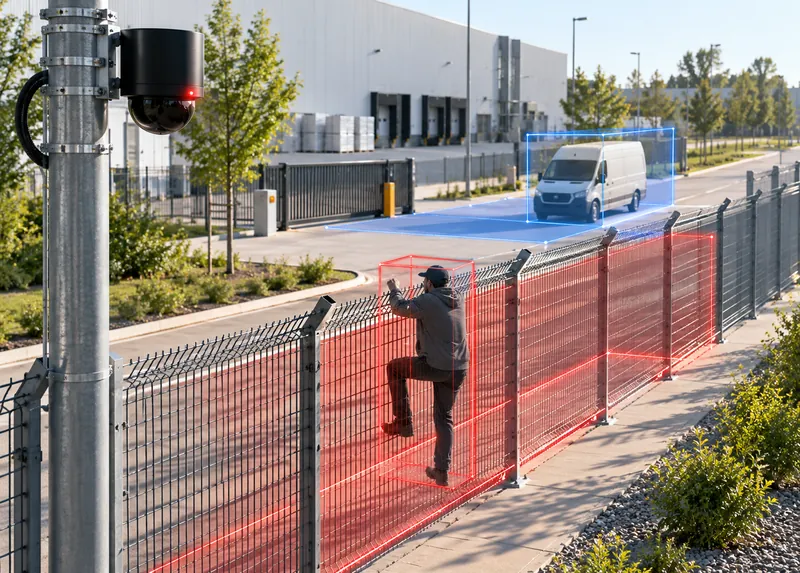
People and vehicles approaching, touching or crossing the fence, tracked in 3D.
Sensing · AI
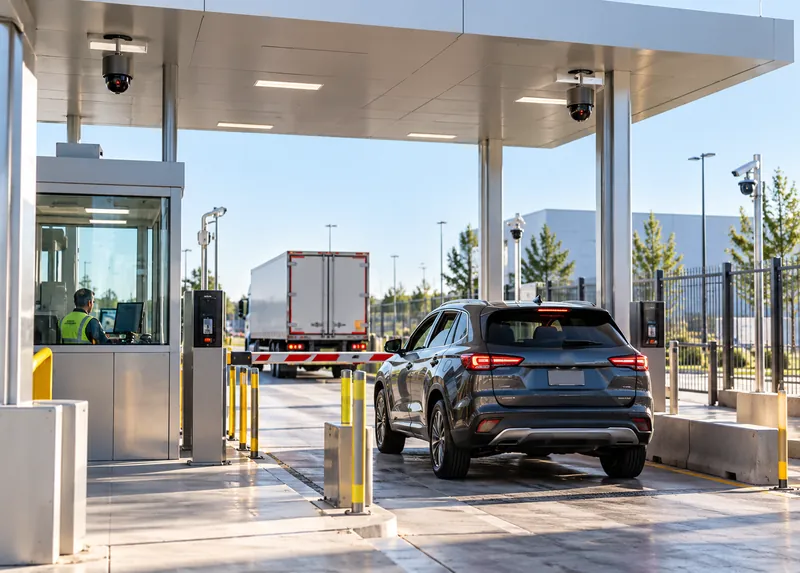
Counts, tailgating, wrong-way movement and dwell at gates and checkpoint lanes.
Sensing · Software
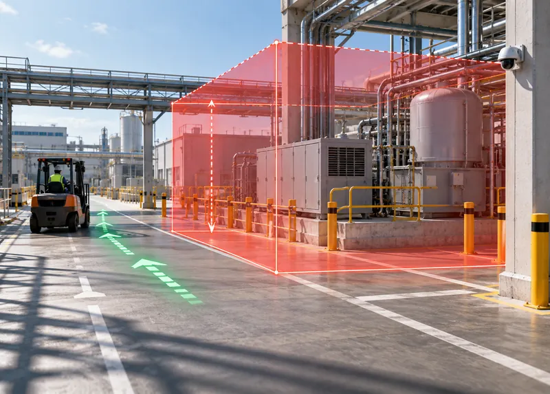
Virtual zones with height and direction rules inside the site.
Software
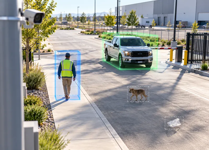
Objects classified by 3D shape and movement, with animals and debris filtered out.
AI
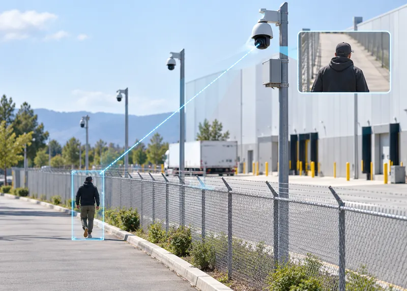
Each track points the nearest camera to the target so operators see it immediately.
Sensing · Software
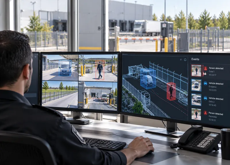
Alarms and tracks sent to your existing security platforms, with custom integration by CRATUS engineering.
Software
The CRATUS security system
Sensor types and positions follow the site: hemispherical where coverage must wrap around, long-range where the fence runs straight.
Gates, yards and corners
Covers everything around its mounting point, so gates, corners and yards have no blind side.
Fence lines and approaches
Watches straight fence runs and open ground outside the fence.
Verification
Turned to each LiDAR track so operators see what triggered the alarm.
ASSET-Rx EDGE
Fuses all sensors, tracks and classifies objects at the site.
Map, alarms, events
The site map, alarms and evidence for the control room.
Your security platform
Sends alarms and tracks to the systems your team already uses.
One system
CRATUS surveys the site, plans coverage, supplies the sensors and edge computer, sets up zones and rules, and supports the system after commissioning.
All CRATUS productsThese details let CRATUS plan coverage for your site.
How we work
Every site is planned from its layout and risk, so coverage, zones and rules are set before installation.
Site plan, perimeter, gates, existing systems and threats of concern.
Hemispherical and long-range LiDAR and camera positions planned for full coverage.
Pole and wall mounting, power, network and integration with your systems.
Zones, rules, schedules and responses set up and tested with walk tests.
24/7 monitoring by your team, with engineering support and updates.
Standards & practices
Security installations at critical sites follow industry, utility and government requirements.
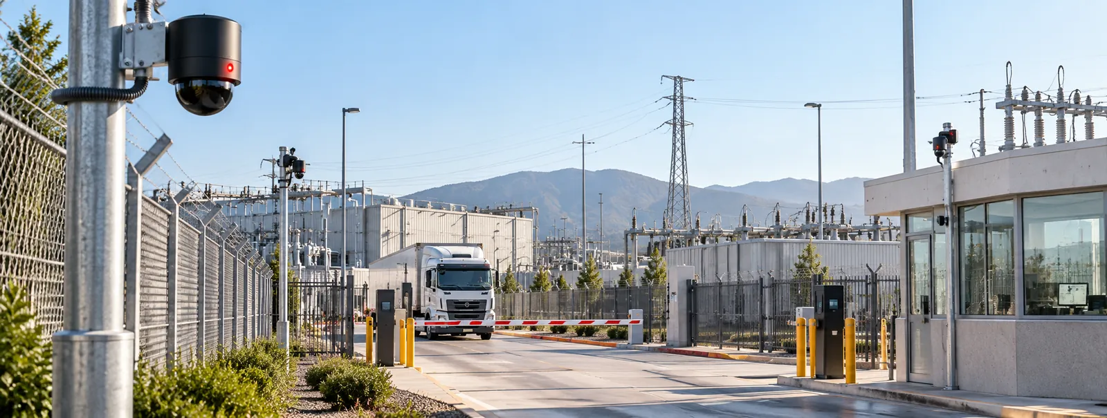
Compliance decisions rest with the site owner and the applicable authority. CRATUS designs and documents installations to support your security plan and audits; we don’t self-certify.
LiDAR measures the area around it in 3D and detects people and vehicles by shape and movement. It tracks each one, so operators see where an intruder is and where they are going, not only which fence segment alarmed.
Because it sees all around and below its mounting point. At gates, corners and yards there is no blind side, and one sensor covers an area that would need several cameras.
Yes. LiDAR supplies its own light, so darkness does not affect detection, and no perimeter lighting is required for the LiDAR.
By classifying objects in 3D. A person, a vehicle and an animal have different sizes and movements, so wildlife, blowing debris and vegetation can be filtered out instead of raising alarms.
Heavy fog, rain and snow reduce LiDAR range. Layouts include overlap between sensors, and weather-related returns are filtered, so detection holds in typical conditions.
Yes. LiDAR tracks can cue existing cameras, and alarms and tracks can be sent to your security platform, with custom integration by CRATUS engineering where needed.
Yes. People and vehicles passing a gate or lane are counted and compared with access events, and tailgating, wrong-way movement and loitering raise alarms.
No. LiDAR records 3D points. Identification comes from your cameras and access control, where your policies apply.
Send us the site layout, what you need to measure and how the space is used. A CRATUS engineer replies with questions, a sensor layout and a phased plan.
Yes. CRATUS works directly with operations teams, system integrators and IT departments, and provides network requirements, installation instructions and remote support during commissioning.
Talk to a CRATUS engineer
Send us the site plan, perimeter length and gates. A CRATUS engineer will reply with a coverage plan.
Keep exploring
GET IN TOUCH
One of our experts will be communicating with you shortly. We are committed to understanding your application and providing support, tailored to your specific requirements.