

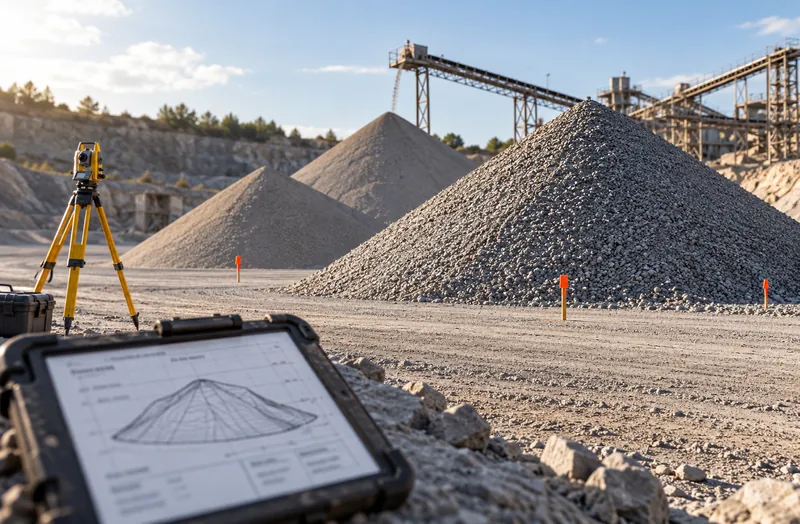
Stockpiles are estimated
Surveys happen monthly or quarterly. Between them, inventory is a calculation that drifts from the ground.
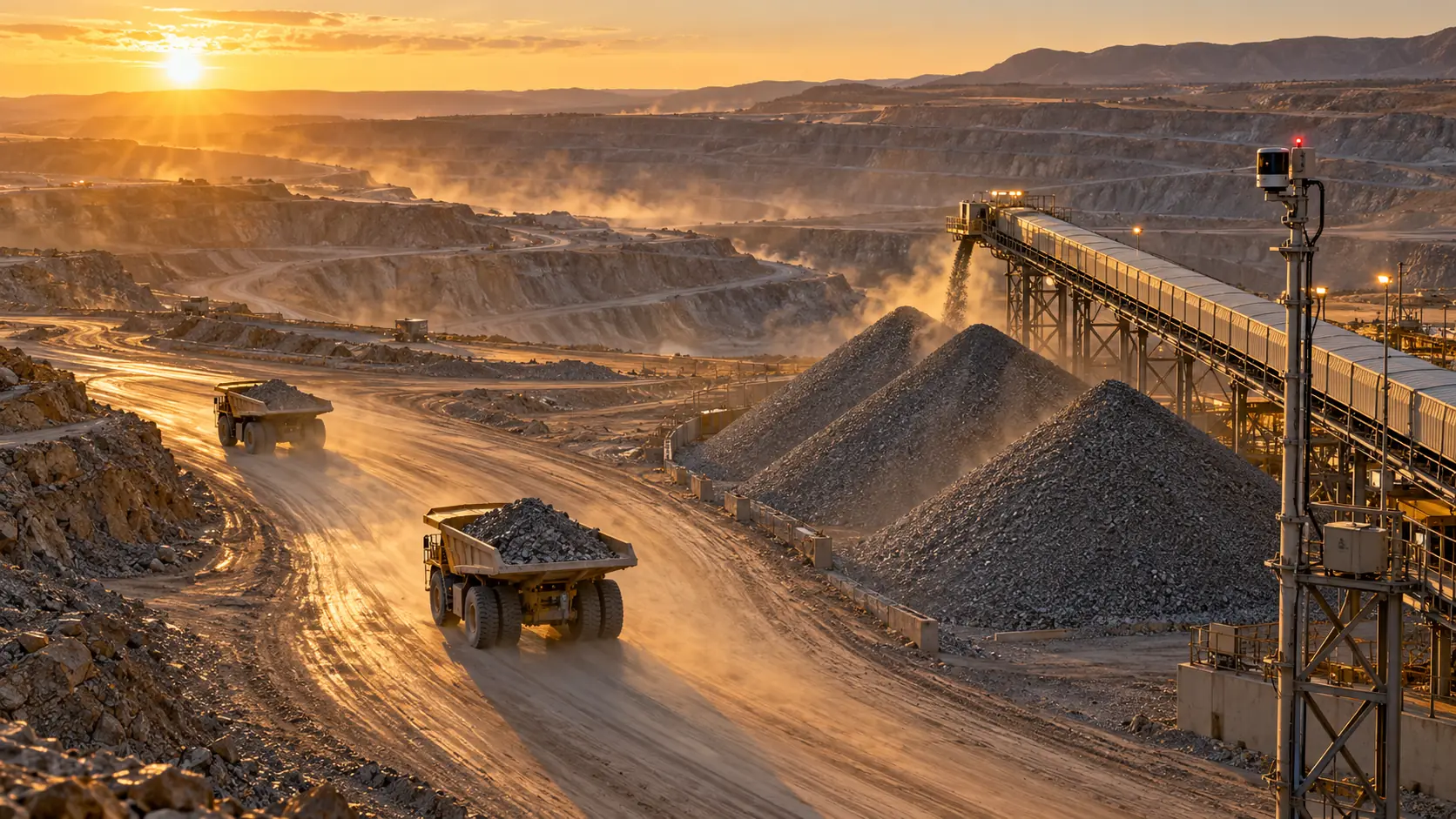
Mined, moved, delivered, installed. Measured at every step.
CRATUS tracks material on mine sites, quarries and construction projects with ASSET-Rx: what was mined or delivered, which truck moved it, where it is stored and how much is left. LiDAR measures stockpiles and loads, tags and GPS track trucks and loaders, and every movement is reconciled to production, shipments and job cost.
The challenge
Material is moved in large quantities by many machines, and most of it is never weighed twice.
Surveys happen monthly or quarterly. Between them, inventory is a calculation that drifts from the ground.
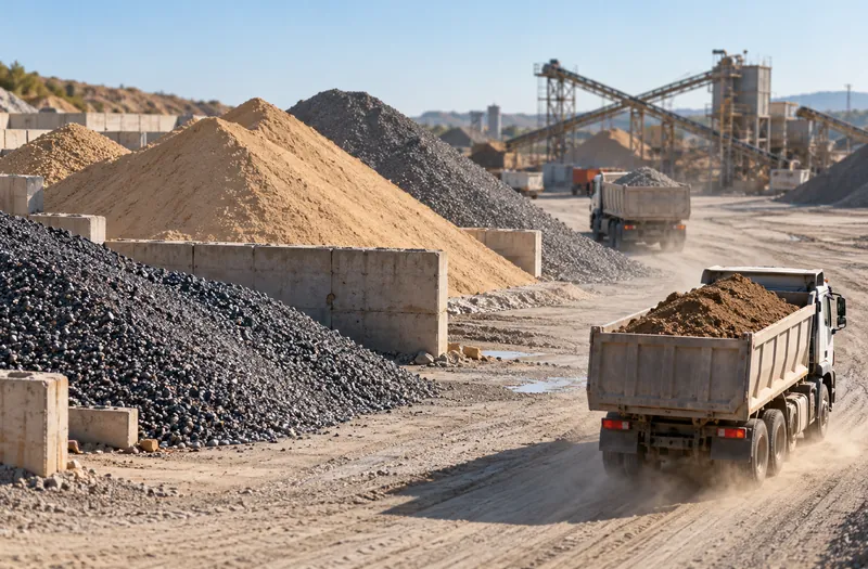
Load counts and nominal payloads hide short loads, carry-back and material sent to the wrong pile.
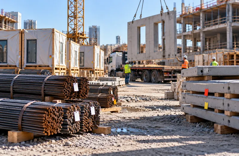
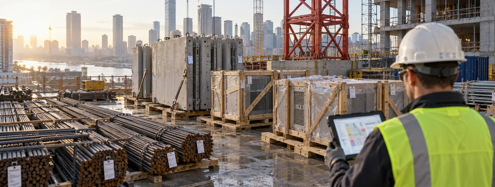
On construction sites, rebar, precast and prefab arrive, get moved and get lost, and crews wait or reorder.
ASSET-Rx measures stockpiles and loads with LiDAR, tracks every haul and delivery, and reconciles the numbers to production, shipments and job cost every day.
See the approachWhere it is used
Each site gets measurement points and tracking that match its material flow.
Side by side
ASSET-Rx measures volume directly and tracks every move between measurements.
| Periodic surveys and tickets | Fleet management only | ASSET-Rx | |
|---|---|---|---|
| Stockpile volume | Monthly or quarterly | No | Measured by LiDAR, as often as needed |
| Load quantity | Scale tickets or nominal | Payload estimate | Measured volume, reconciled to scales |
| Material location | Site drawings | Truck position only | Pile, laydown and zone |
| Haul cycles | Load counts | Yes | Yes, linked to source and destination |
| Construction deliveries | Delivery tickets | No | Tagged and located on site |
| Reconciliation | Month end | No | Daily, by material and source |
General characteristics of each method. Dust, rain and snow affect LiDAR; installations include protection and placement to account for it.
Our approach
LiDAR, tags, connectivity, software and AI, engineered as one system by one team.
Measurement
LiDAR measures stockpiles in sheds, domes and open yards, and loads in truck beds, rail cars and on conveyors. Volume converts to weight with your material density and is checked against scales.
Tracking
GPS on haul trucks, UWB and BLE tags on loaders and at load and dump points, and tags on delivered construction material. Each move is logged with its source and destination.
Software & dashboards
Inventory by material and pile, cycle reports, delivery status and daily reconciliation to production, shipments and job cost. Data flows to ERP, fleet and SCADA systems through APIs.
AI
AI flags short loads, wrong-pile dumps and stock drift, forecasts when piles run low or full, and detects equipment and people with ASSET-Rx EDGE vision.
What we deliver
From one stockpile to every pit, plant and project.
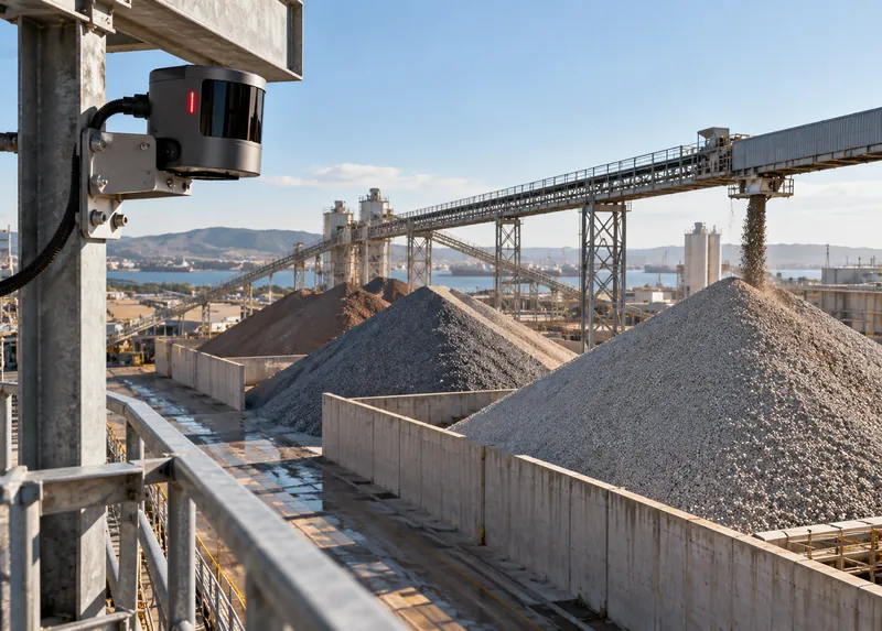
Volume and weight of each pile, measured by LiDAR on a schedule or continuously.
LiDAR · Software
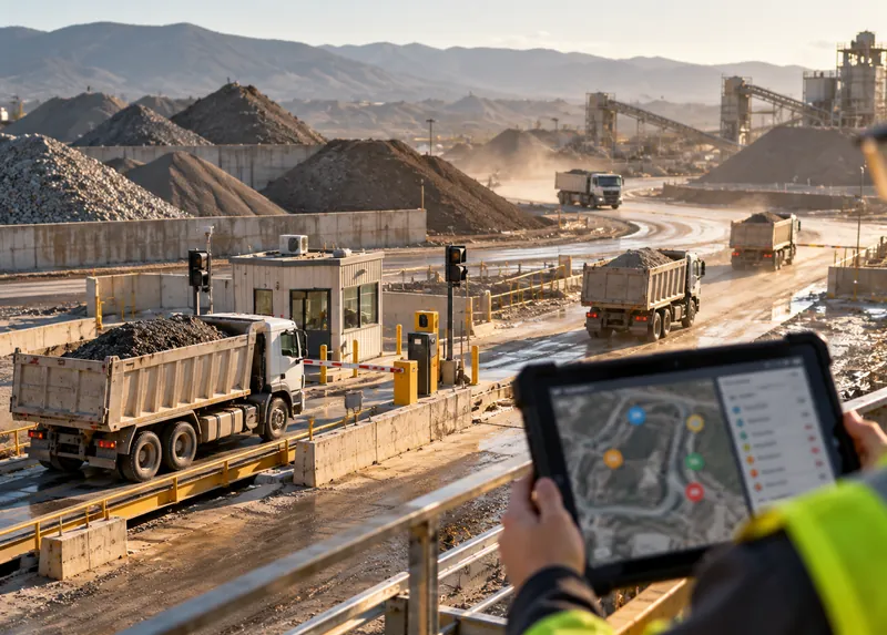
Loads per truck and shift, with source, route and dump point.
Tracking · Software
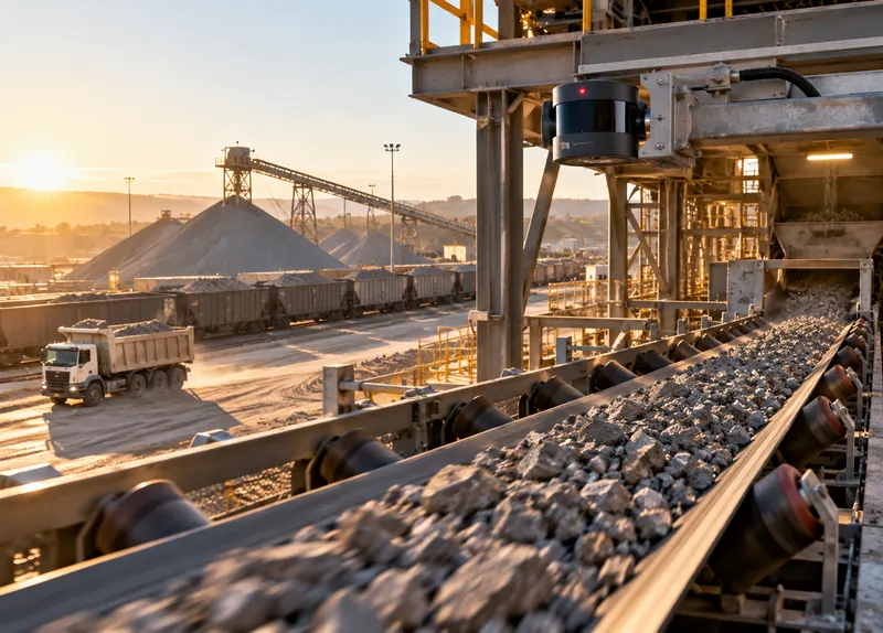
Truck beds, rail cars and conveyors measured as material moves.
LiDAR · AI
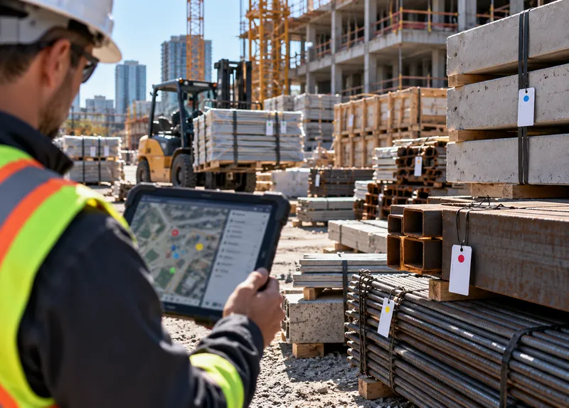
Deliveries tagged at the gate and located in laydown and on floors.
Tracking · Software
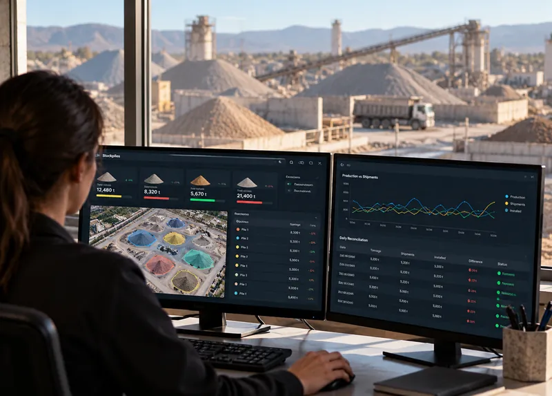
Production, shipments and installed quantities matched daily.
Software
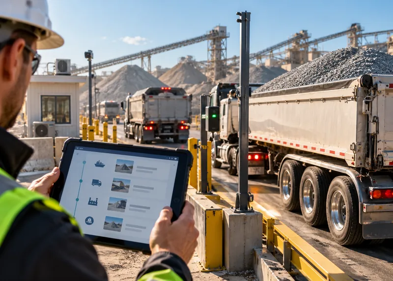
Material handed from supplier to site to crew with a logged record.
Software
LiDAR volume and weight measurement is covered on the LiDAR Volume and Weight Estimation page.
The ASSET-Rx system
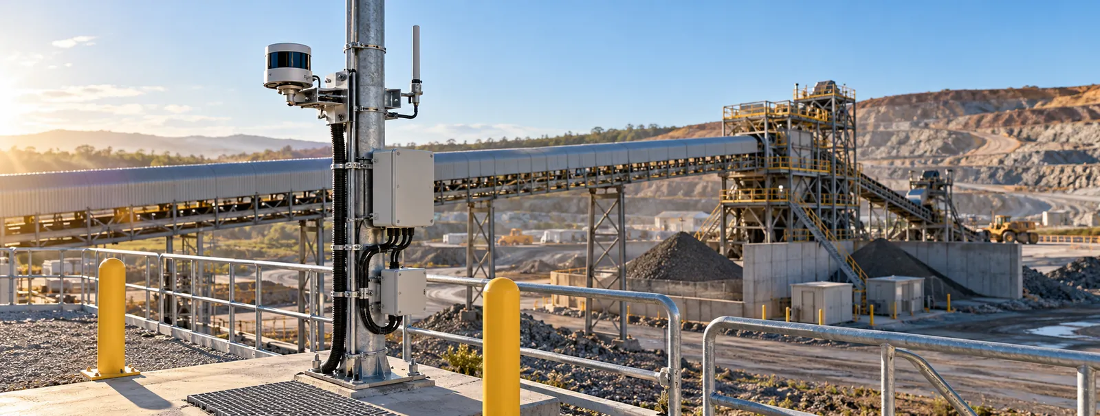
Measurement points and tags follow the material flow: where it is stored, loaded, dumped and delivered.
VMS
Measures what is in each pile.
Trucks, rail cars, belts
Measures what each load carries.
ARX-UWB / ARX-BLE
Links each move to its source and destination.
ICL8-WC182
Brings machine data into the platform.
ASSET-Rx EDGE
Processes LiDAR and camera data at the site.
SW-01x / SW-03x / SW-04x
Inventory, cycles and reconciliation across sites.
One platform
CRATUS surveys the site, plans coverage, supplies the hardware, sets up zones, rules and integrations, and supports the system after commissioning. ASSET-Rx is hardware-agnostic and works with compatible off-the-shelf components.
ASSET-Rx platformThese details let CRATUS plan tags, sensors and coverage for your site.
How we work
Every site is planned from its material flow, so measurement points, tags and reports are set before installation.
Materials, storage, haul routes, equipment and the numbers you report.
LiDAR positions for piles and loads, tags and gateways for tracking.
Sensors mounted, equipment tagged, power, network and integrations connected.
Volumes checked against surveys and scales, rules and reports set up.
Daily reconciliation, remote support and updates.
Standards & practices
Installations follow the safety, asset management, radio and cybersecurity requirements that apply to the site.
Compliance decisions rest with the site owner and the applicable authority. CRATUS designs and documents installations to support your programs and audits; we don’t self-certify.
What was mined or delivered, how it was moved, where it is stored, how much is left and where it was used. ASSET-Rx combines LiDAR measurement with tracking of trucks, loaders and delivered material.
LiDAR scans the pile surface and computes volume. Weight is calculated from your material density and checked against scales and surveys.
It reduces how often you need them. Surveys remain the reference for audits; LiDAR keeps inventory current between them.
Yes. LiDAR measures the material in truck beds and rail cars as they pass, so each load has a measured volume instead of a nominal payload.
Sensors are placed and protected for dusty sites, with enclosures and air purge where needed, and filtering removes airborne dust from the measurement.
Yes. Fleet and equipment data can be brought in through APIs and combined with LiDAR measurements and tag data.
Deliveries are tagged at the gate and linked to the order. Tags locate the material in laydown or on the floor until it is installed.
Yes. Delivered, stored and installed quantities are reported by area and cost code, so job cost uses measured quantities.
Send us the site plan, the materials and where they are stored, and the numbers you report. A CRATUS engineer replies with questions, a measurement and tracking plan and a phased rollout.
Talk to a CRATUS engineer
Send us the site plan and the material flow. A CRATUS engineer will reply with a measurement and tracking plan.
Keep exploring
Illustrations are not to scale. Specifications subject to change without notice.
GET IN TOUCH
One of our experts will be communicating with you shortly. We are committed to understanding your application and providing support, tailored to your specific requirements.