

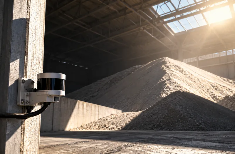
Light you don’t control
Domes, bunkers and warehouses are dark, and outdoor piles change with sun, shadow, glare and night. A camera result changes with the light; a LiDAR result does not.
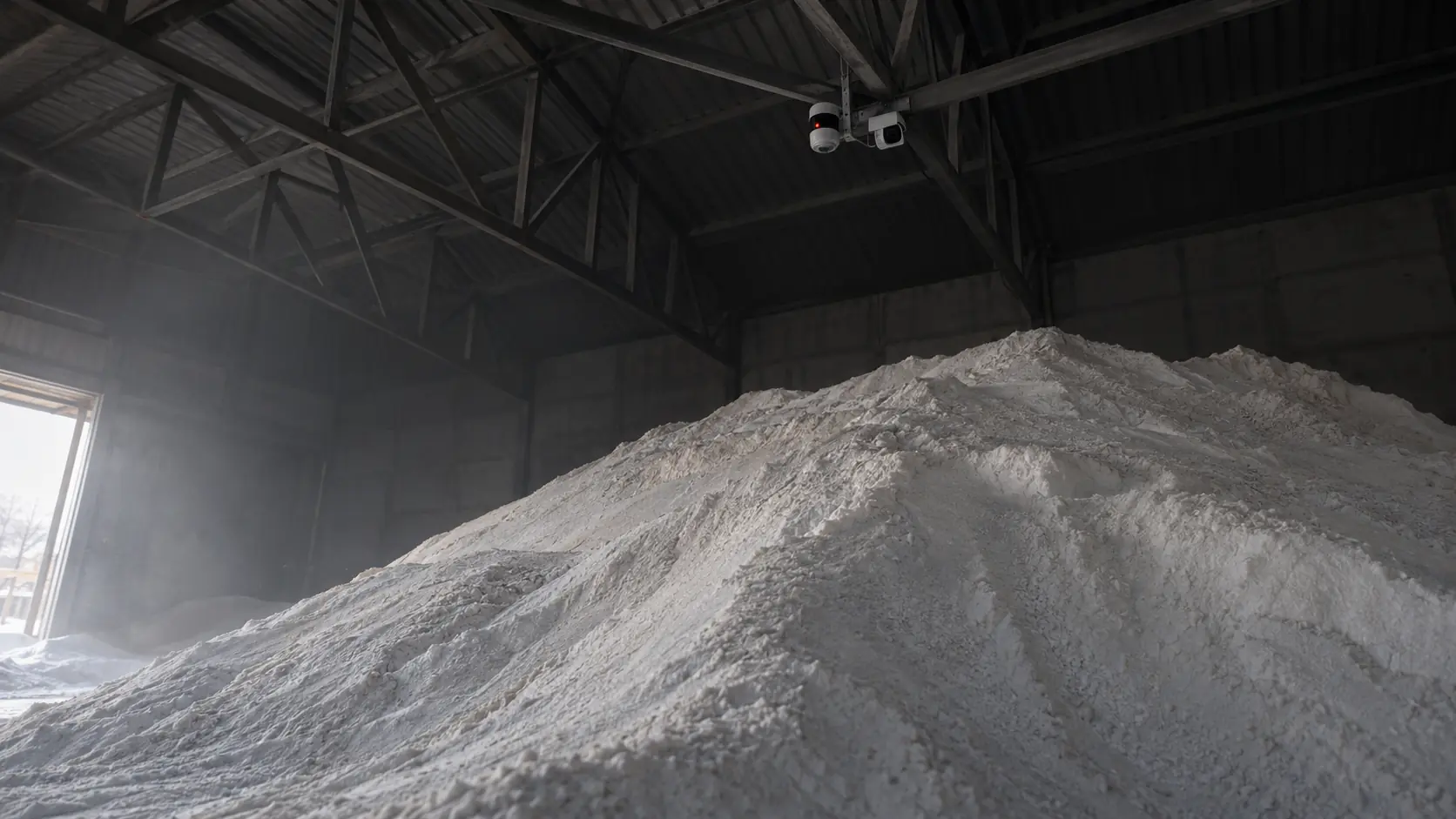
You can’t manage what you can’t measure
Cameras take pictures. LiDAR measures surfaces.
CRATUS measures the volume of bulk solid materials in piles, bays, bunkers, silos and domes predominantly with LiDAR, and offers LiDAR plus camera solutions where a camera adds what LiDAR does not, such as visual verification. Each technology goes where it performs best, and LiDAR is almost always part of the solution: no other technology gives a surface profile as accurate as LiDAR, in the dark, in dust and on uniform materials such as salt, sand, grain and ore.
The challenge
A camera records light and color. Volume needs distance. Every camera method has to recover distance indirectly, and bulk storage is where that goes wrong.
Domes, bunkers and warehouses are dark, and outdoor piles change with sun, shadow, glare and night. A camera result changes with the light; a LiDAR result does not.
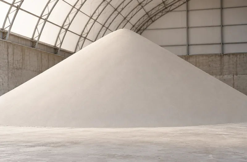
Stereo and photogrammetry match features between images. A smooth pile of salt, sand, grain or cement looks the same everywhere, so there is little to match and depth turns into a guess.
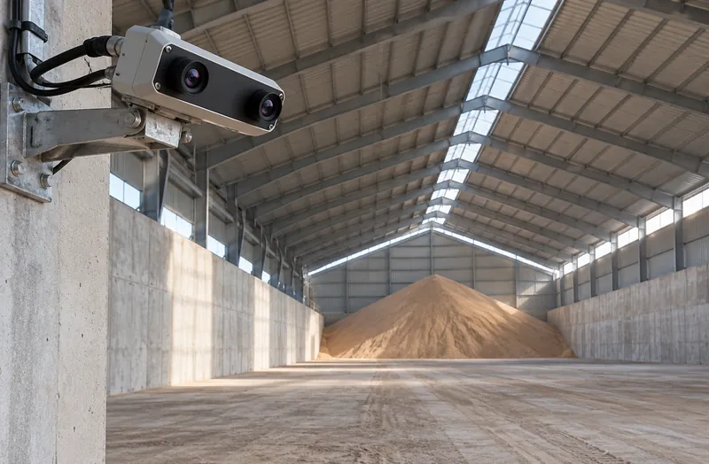
With stereo cameras, depth error grows roughly with the square of distance. Large structures put the material far from the camera, exactly where the error is largest.
LiDAR measures the surface directly, point by point. Where a picture helps, CRATUS adds a camera next to it.
See the approachSide by side
How each technology behaves in the conditions bulk storage actually has.
| Cameras alone (stereo, photogrammetry, AI) | LiDAR | |
|---|---|---|
| How depth is obtained | Inferred from matching pixels between images, or estimated by a model | Measured directly from laser time of flight, for every point |
| Darkness and night | Needs added lighting; results change with light level | Unaffected; the sensor supplies its own light |
| Sun, shadow and glare | Shadows and glare create false edges and missing areas | Unaffected by visible light changes |
| Uniform materials (salt, sand, grain, cement) | Little texture to match, so depth gaps and noise | Unaffected; does not rely on texture |
| Error vs distance | Stereo depth error grows roughly with the square of distance | Range error stays small across the rated range |
| Dust and haze | Contrast drops and matching fails | Some airborne returns, filtered in processing |
| Calibration | Camera pairs drift with temperature and vibration | Factory-calibrated range |
| Large footprints | Many cameras and overlaps needed | Fewer sensors; wide field of view covers more surface |
| Privacy | Records images of people, vehicles and screens | Distance points only, no images |
General characteristics of each technology class. CRATUS also combines LiDAR with cameras where both are useful; the LiDAR still provides the measurement.
Each where it shines
CRATUS uses LiDAR predominantly and adds cameras where a picture adds value. LiDAR is almost always in the system, because no other technology gives a surface profile as accurate.
| Job | Best fit | Why |
|---|---|---|
| Surface profile and volume | LiDAR | Direct range for every point, independent of light, color and texture |
| Inventory in dark structures (domes, bunkers, bins) | LiDAR | Brings its own light; no added lighting needed |
| Weight from volume | LiDAR + bulk density | Weight follows from an accurate volume |
| Visual verification of a zone or alert | LiDAR + camera | LiDAR measures, the camera shows what changed |
| Seeing what material or equipment is present | LiDAR + camera | Color and appearance help identify material and activity |
| Remote visual check of a site | Camera, alongside LiDAR | A picture for people; the number still comes from LiDAR |
Volume in motion
On a belt the distance is short and lighting can be enclosed, so camera and laser-line systems can estimate flow volume. Before choosing one, weigh these limits.
Our approach
LiDAR does the measuring; cameras are added where a picture helps. This is how the layers work together, and where a camera changes the answer.
LiDAR sensing
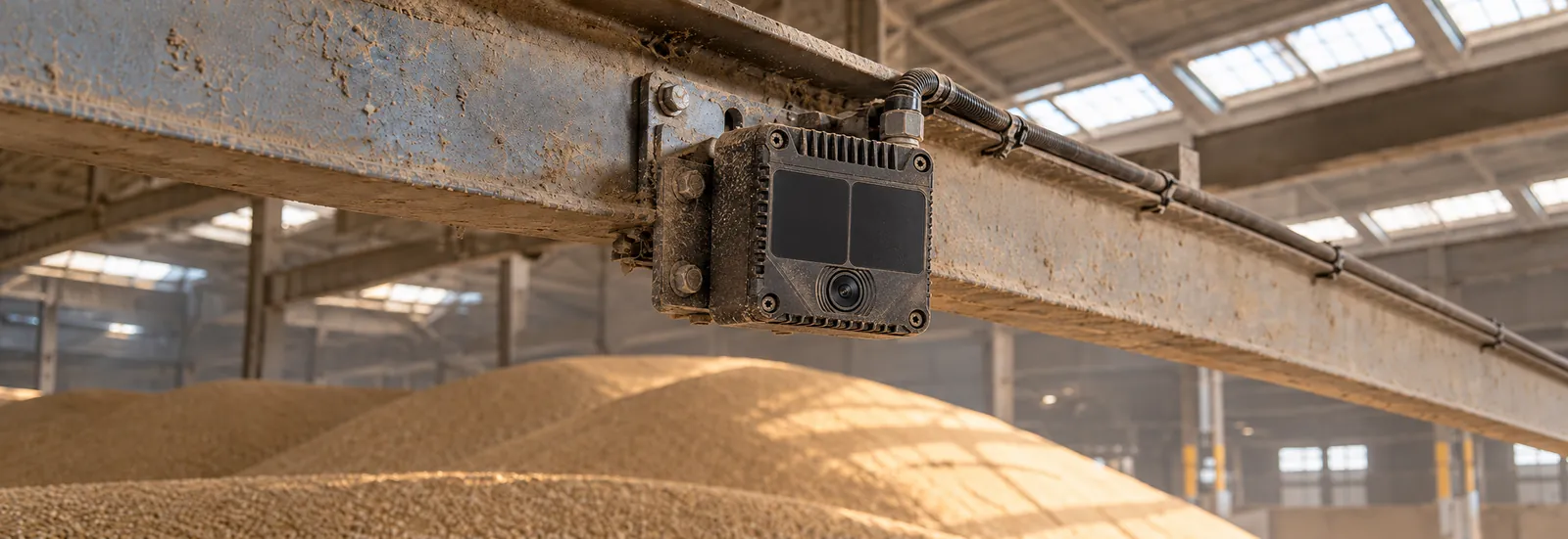
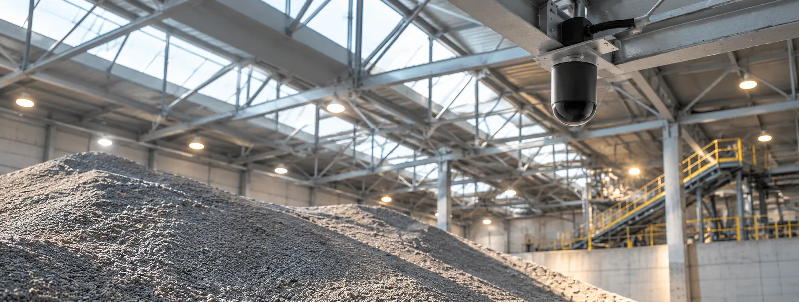
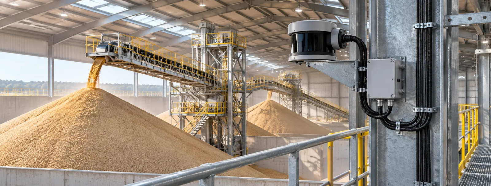
Fixed LiDAR sensors measure distance directly for every point, with their own laser light, so lighting, color and surface texture do not decide the result. Where a picture adds value, such as visual verification of a zone or an alarm, a camera is added next to the LiDAR.
Edge computing
The edge computer at the site merges every sensor into one surface and computes volume per zone. It sends results, not raw video, over Ethernet, Wi-Fi or cellular, and the number comes from the LiDAR even when a camera is in the system.
Software & dashboards
One dashboard shows volume, weight and history per structure, zone and material, with the camera view for context where one is installed, plus reports and exports for the systems you already run.
AI
AI separates the material surface from loaders, trucks, people and airborne dust, and flags changes that do not match the plan. Where a camera is added, it shows what changed behind an alert.
What we deliver
One system family for the ways bulk solids are stored and moved.
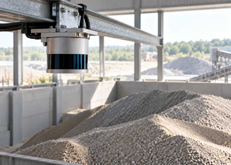
LiDAR for the surface profile and volume, a camera for visual verification and context, combined in one system.
Sensing · AI
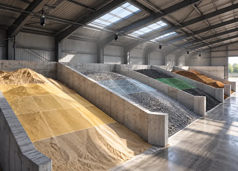
Indoor and covered piles and multi-bay buildings, reported bay by bay and zone by zone, by material.
Sensing · Software
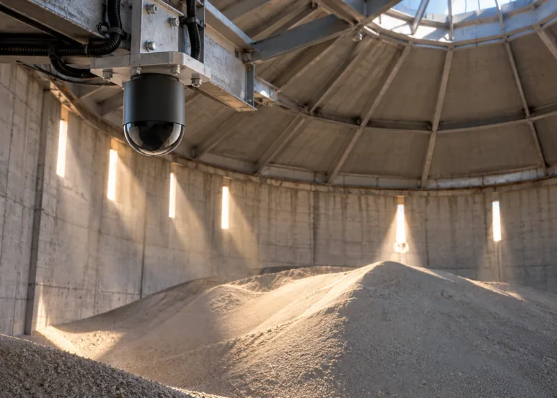
Top-filled, bottom-reclaimed storage where craters form, measured with wide and directional LiDARs together.
Sensing · AI
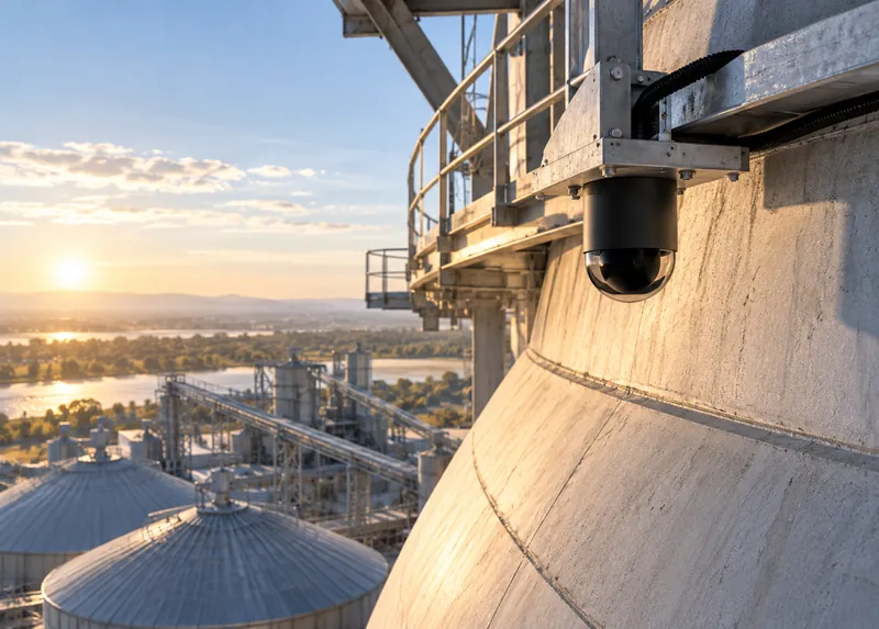
Hemispherical and barrel domes and silos, with mounting planned around the structure.
Sensing · Edge
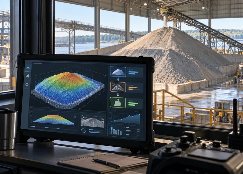
Volume converted to weight with the bulk density of each material, set and checked at commissioning.
Software
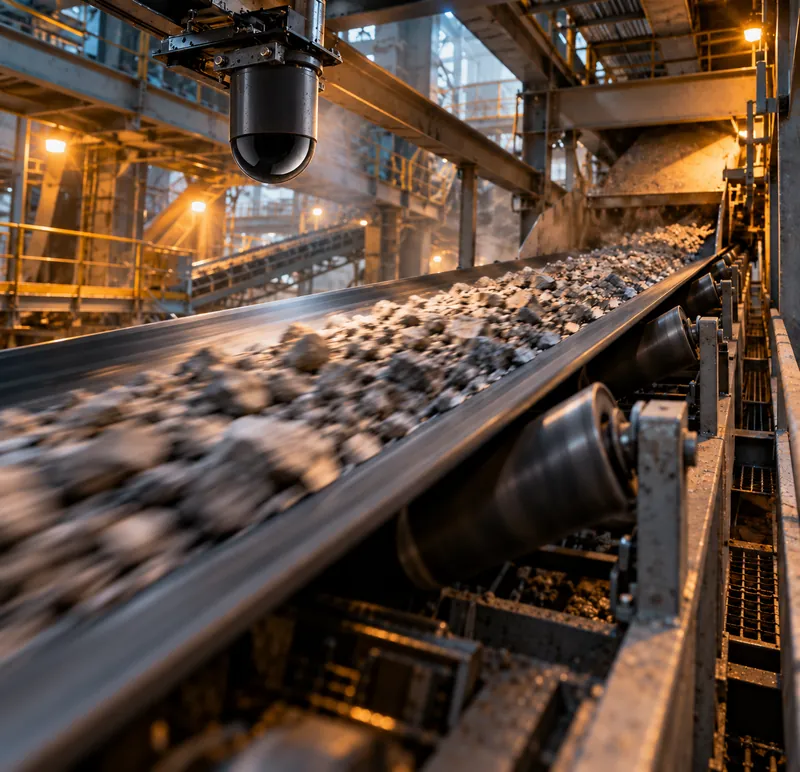
Material on conveyors, evaluated case by case. See the limits of camera systems for this job above.
Sensing · AI
The CRATUS VMS system
The same building blocks are combined differently for each structure. The coverage model decides which sensors go where.
Overall surface coverage
Measures the surface directly from one mounting point, whatever the light, and follows it as it rises and falls.
Targeted, longer reach
Aimed at the places a wide view cannot reach well, such as craters, far corners, deep bins and the back of tall bays; distance is still measured, not inferred.
ASSET-Rx EDGE middleware
Runs at the site and merges the LiDAR sensors into one surface, so the measurement comes from LiDAR whether or not a camera is installed.
Cloud or local
Volume, weight and history per structure and zone. Choose a cloud subscription or a local license per unit, per site or company-wide.
For trusses, walls and ceilings
Mounts the sensor on the truss, wall or ceiling you already have and holds the angle chosen in the coverage model.
For extremely dusty sites
Dust affects LiDAR much less than cameras, but heavy dust settles on the window; where compressed air is available, a purge collar keeps it clear between scheduled cleanings.
One system
CRATUS designs the coverage, supplies the sensors and edge computer, runs the software and supports the system after commissioning. One point of contact from site survey to the daily inventory number. Browse the VMS systems for bulk solids.
All CRATUS productsThese details let CRATUS build a coverage model for your structure.
How we work
Every structure is different, so we start with a coverage model of your structure and material, and decide where a camera adds value next to the LiDAR. Sensor types, counts and positions are set before anything ships.
Structure type and size, material, how it is measured today, where a picture would help, plus power, connectivity and dust conditions.
CRATUS models your structure and material to choose LiDAR types, counts and positions, and where a camera adds value, before anything ships.
Brackets, power and network, with instructions and remote support for your contractor or ours.
Reference scans, zone set-up and bulk density per material, checked against a known quantity where one is available.
Dashboard, reports and alerts, a lens-care schedule and engineering support for the life of the system.
Standards & practices
Whether it is LiDAR alone or LiDAR plus camera, bulk storage often involves combustible dust and hazardous-location rules, and the installation is planned around what applies at your site.
Area classification and compliance decisions rest with the site owner and the authority having jurisdiction. CRATUS plans the installation around these requirements and documents it to support your review; we don’t self-certify.
LiDAR, for the measurement itself. LiDAR measures distance directly for every point, works without light and does not need surface texture; no other technology gives a surface profile as accurate. Cameras estimate depth from images, which depends on lighting, texture and distance, all of which are poor in typical bulk storage.
Yes. CRATUS uses LiDAR predominantly and offers LiDAR plus camera solutions where a camera adds value, such as visual verification of a zone or an alarm. Each technology is used where it performs best, and LiDAR is almost always part of the system.
Yes, under controlled conditions. Stereo cameras, photogrammetry and structured light can estimate volume when lighting is controlled, the material has visible texture and the distance is short. Those conditions are rare in domes, bunkers and warehouses.
No, not for inventory you need to account for. A single camera has no direct depth; AI can estimate depth from an image, but the estimate is learned from examples rather than measured, and its error is hard to bound for a pile it has not seen.
Yes, with limits. On a conveyor the distance is short and lighting can be enclosed, so camera or laser-line systems can estimate flow. The drawbacks are motion blur, dust and steam at transfer points, belt sag and wander, edge occlusion, and small errors that accumulate over a shift.
No. Flow measurement tells you what passed a point; it does not tell you what is in storage. Accumulated flow drifts over time, and stored material also changes through loaders, spills and moisture, so storage needs its own measurement.
Yes, but much less than it affects cameras. Heavy airborne dust can scatter some returns, and dust settling on the window has to be cleaned on a schedule. The system filters airborne returns, and an air purge collar is available for extremely dusty sites.
No. LiDAR produces distance points, not photographs, so it does not capture faces, license plates or screens. That makes it easier to deploy where camera recording is restricted.
Yes. CRATUS specifies LiDAR sensors in eye-safe laser classes under IEC 60825-1.
120 VAC near the edge computer, 12 VDC for the sensors and a network connection. Where 12 VDC, an enclosure or internet access are not available, CRATUS can supply the power supply, enclosure and a cellular modem.
Send the structure type and size, the material, how it is filled and reclaimed, and where the camera falls short. A CRATUS engineer replies with a LiDAR or LiDAR plus camera approach for your structure, with the sensor layout and expected performance, followed by a quote with options.
Both cloud and local options: a cloud dashboard subscription, a local dashboard license per unit, a site license for several units or a company license.
Yes. Your integrator or IT team can work with CRATUS directly; CRATUS provides installation instructions, network requirements and remote support during commissioning.
Talk to a CRATUS engineer
Tell us what you store, how it is filled and reclaimed, and where the camera falls short. A CRATUS engineer will reply with a LiDAR or LiDAR plus camera approach for your structure.
Keep exploring
Illustrations are not to scale. Specifications subject to change without notice.
GET IN TOUCH
One of our experts will be communicating with you shortly. We are committed to understanding your application and providing support, tailored to your specific requirements.