

ONO Short Range Solid State Lidar Sensor for Robotics, Industrial, and Agricultural Applications
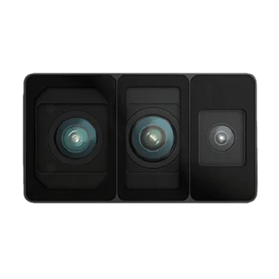
Highly Integrated functions camera, IMU, spatial memory and built-in mapping, Ideal for AMR, Humanoid, industrial machinery and safety applications
END MARKETS
$1,500.00
raw point cloud
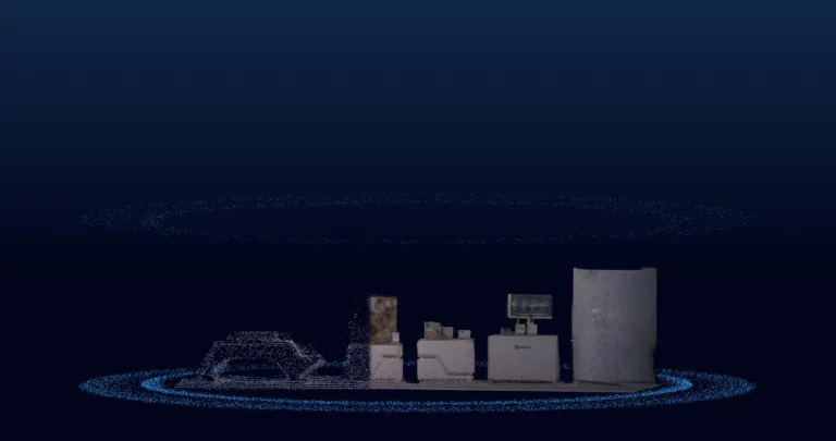
The world's first spatial memory module
The worlds first spatial memroy module with real time colorized point cloud, mapping and environmental memory.
Spatial Perception
High-performance spatial perception, giving the device keen "eyes"
Breakthrough in the limitations of traditional RGBD cameras, providing higher accuracy and wider coverage of environmental perception capabilities
Ultra-long Detection
70m (230ft) (90% reflectivity) /30m (100ft) (10% reflectivity) of the maximum measurement range, improving the detection distance
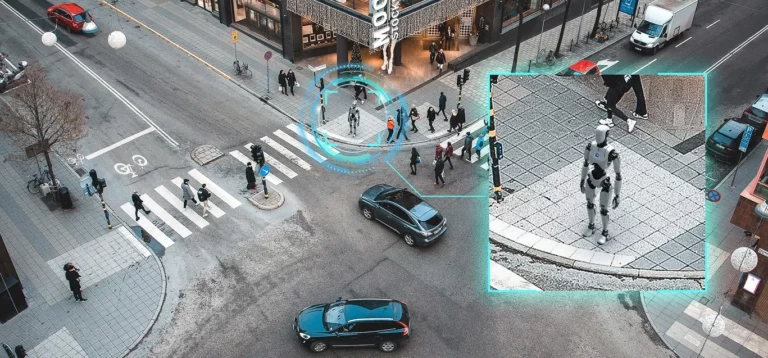
ULTRA- WIDE FOW
120°x90° FOV
Larger coverage, less blind spots

Ultra-light Design
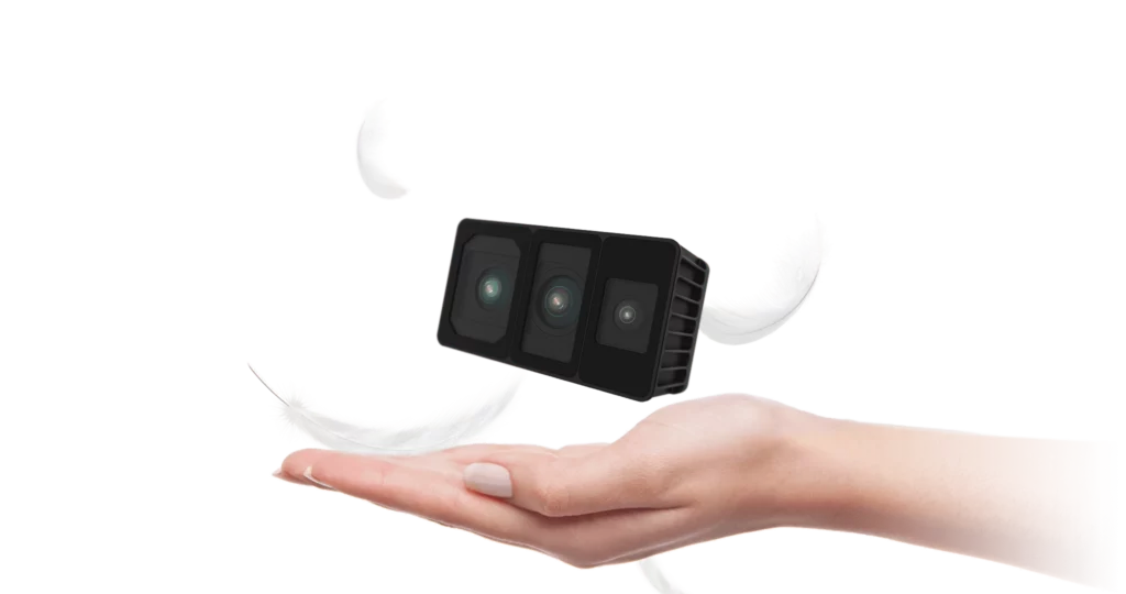
Weighs only 300g (10.58oz) (as low as 200g (7.05oz)) for unmatched portability and flexible deployment
Modular & Compact
Compact at 100x62x43 mm(3.93×2.44×1.69 in), suitable for various platforms such as robots, UAVs, robotic arms and delivery carts
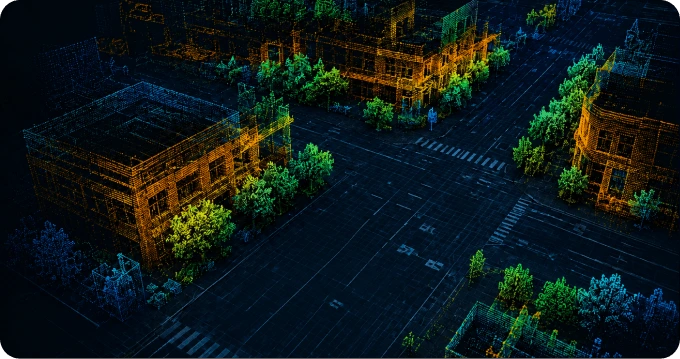
High-density Point Cloud
High-density point cloud acquisition: 700,000 points/second, accurately capturing spatial details and fully perceiving environmental characteristics
High-resolution Data Acquisition
Global exposure, providing clear high-fidelity 3D reconstruction data
240 × 180 Depth Module + 1600 × 1296 RGB
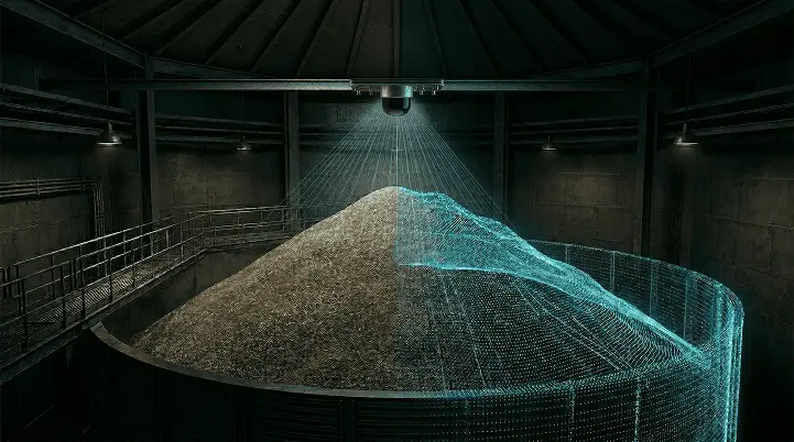
Adaptive Environmental Perception
Suitable for various lighting environments, and stable operation in extreme environments such as at night, in daytime, and in

Spatial Memory
Understands and remembers the environment for robotics navigation and real-time mapping
Built-in IMU for navigation with dead reckoning, pose. Ready to be integrated into higher levels of intelligence in any mobile or stationary application.
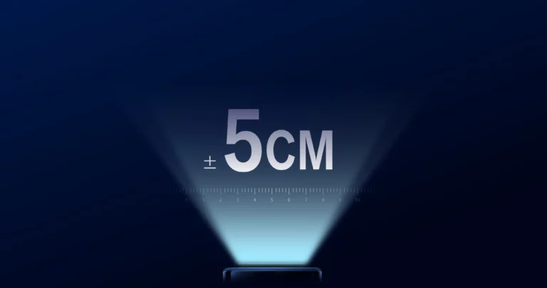
Centimeter-level Positioning
Global positioning accuracy, meeting the needs of high-precision autonomous positioning
IP66 Industrial-grade Protection
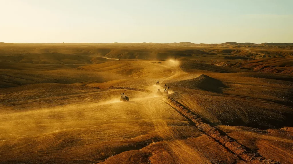
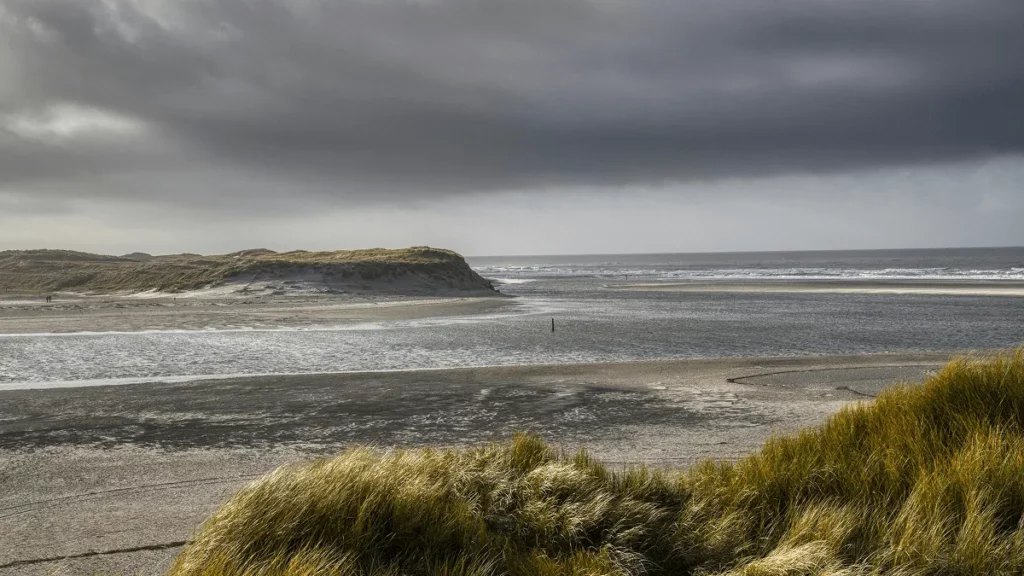
Application Scenarios
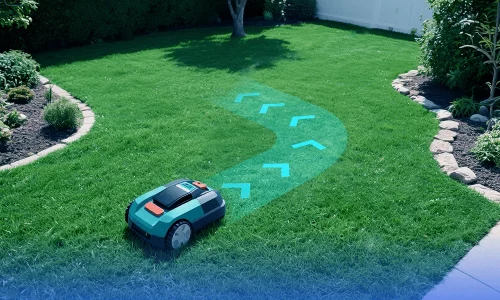
Robot Autonomous Navigation
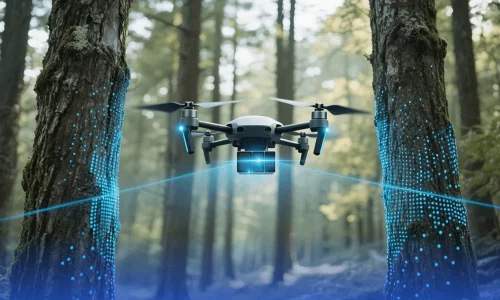
UAV Inspection & Mapping
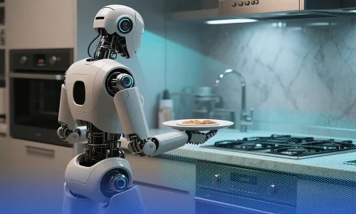
Embodied Intelligence
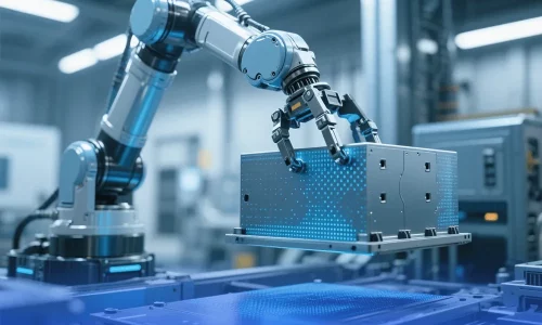
Industriat Manufacturing

Digital Twin and Cultural Relics Protection
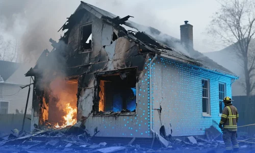
Emergency Firefighting